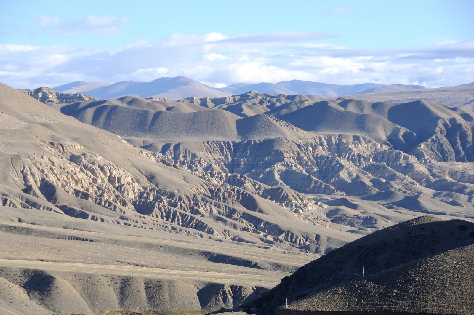
2009-08-17 · 添加一点羌塘的资料([ZZ]一个人的羌塘)
http://bbs.365ktz.com/viewthread.php?tid=9144&extra=page%3D1
http://bbs.365ktz.com/forumdisplay.php?fid=33&page=1
好风长吟给martin 05年穿越羌塘做的一点翻译:
http://bbs.365ktz.com/viewthread.php?tid=15851&extra=page%3D1
“With its ecological wholeness, stark beauty, and sense of unfettered freedom, it is a place where mind and body can travel, where one’s soul can dance. It is the essence of the Chang Tang.”
I am right now in a town called Gerze in northern Tibet, about to start an
unsupported south-north solo crossing of Tibets Chang Tang, a 1000 kilometer
南北单骑无后援纵穿藏北羌塘高原,一个1000公里的自行车旅行
biketrip through a vast high-altitude environment mainly situated above 5000
穿越一个广阔的绝大部份在5000米以上高海拔的高原
meters. This area, more than 600.000 km2, is one of the least explored places
这片区域,面积超过60万平方公里,是地球上最少被人探索的区域之一,
on earth due to its remoteness and the harsh living conditions. Even the
sturdy Tibetan nomads only live in the southern rim of the area where
既使是强健的西藏当地牧民,也只是生活在这片土地的南缘。
temperatures occasionally drop below – 40 C during wintertime.
There have been two unsupported expedition crossings of Tibets Chang Tang
before, the first was done by two German pioneers, Frank Kauper and Steffan
第一次是两位德国探索先锋,Frank Kauper 和 Steffan Simmerer ,
Simmerer who crossed central Chang Tang in 1997 in 51 days where they didn’t
他们在1997年费时51天从中心穿越羌塘,而其中有35天是见不到一个人影的无人区
see people for 35 days. They climbed 6400+ Zangser Kangri in the middle of
Chang Tang as well. The second was in 2003 when Swedish Janne Corax and
第二次是在2003年,两个瑞典人Janne Corax 和Nadine Saulnier
Nadine Saulnier in 47 days crossed eastern Chang Tang without seeing people
在47天内穿越东羌塘,其中有37天是渺无人烟的无人区。
for 37 days. National Geographic Channel has broadcasted a documentary
国家地理频道对这次穿越以《太累了》为名播放了相关资料
called “Too tired” on the last crossing.
[ 本帖最后由 好风长吟 于 2008-10-23 16:46 编辑 ]
I have spend four days here in town, resting a bit after cycling more than
1200 kilomteres to here from Lhasa as warm-up. For the forthcoming challenge
骑行1200公里热身后的稍事休息,也为即将到来的挑战
bought more than 35 kg. of food, 13 kg of instant noodles, 9 kg of
我在这里买了超过35公斤的食品,13公斤的速食面,9公斤的奶粉
milkpowder, 2,5 kg. of Dove chocolate, 7,5 kg. Chinese moon festival cakes,
2.5公斤的DOVE巧克力。中国的月饼,2.5公斤,还有糖,诸如此类……
2,5 kg. candie, ect… To this I have to add between 6 and 7 L of gasoline
for cooking and for melting ice during the later part of the trip when
temperatures begin to plunge below – 30 C at night. Yesterday, I did a 25
夜晚的气温有可能跌到零下30度,我还在改则的北边试骑行了25公里,
kilometers recoinnance bike trip north of town and it seems like the
surroundings right now are rather dry which means I might have to start out
现时的环境确实太过干旱,如此一来,我每天的饮用水不得不设为10升。
with 10 L of water as well.
I also burden my poor bike with everything nessary for crossing through Chang
为了安全穿越羌塘,必须带足一切必须的东西,我只能让我可怜的车车加重负荷了
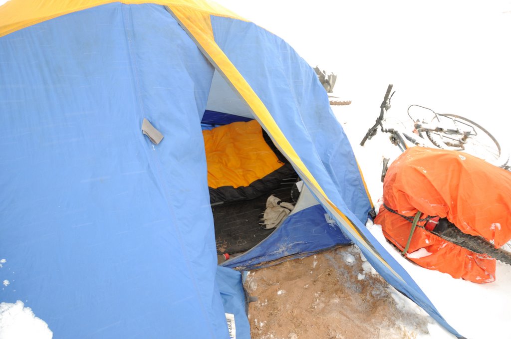
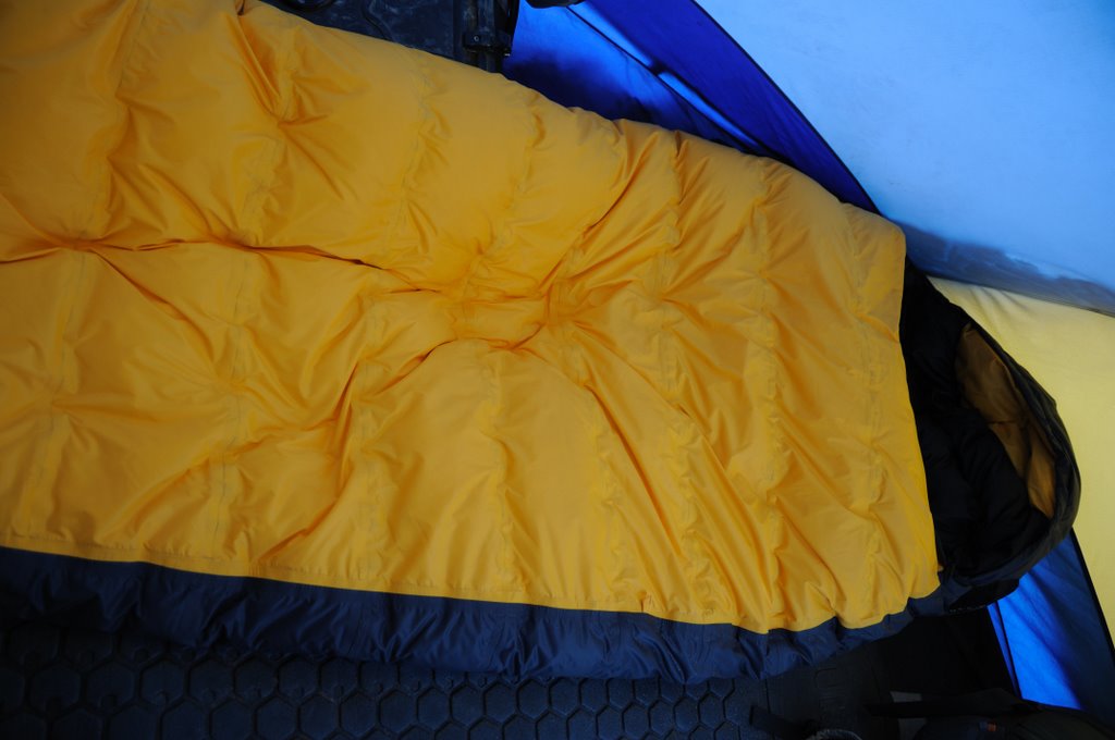
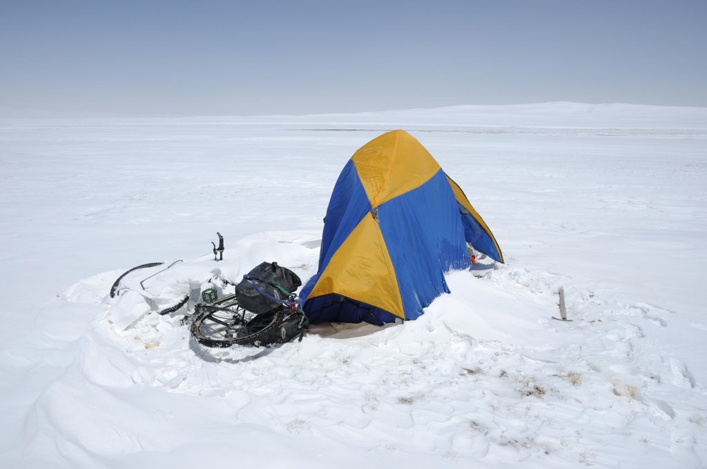
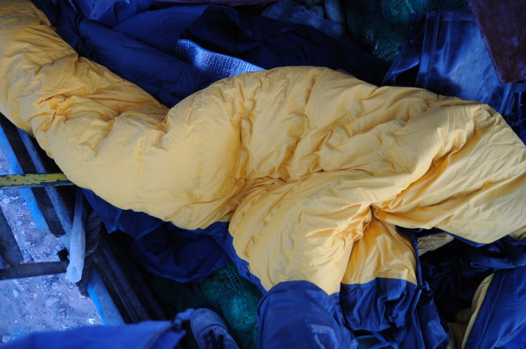
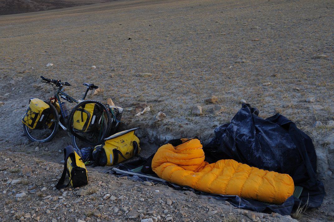
Tang safely. I have a – 40 C sleeping bag, high altitude mountaineering tent,
down jacket, two stoves (one extra if the first fails), satellite phone, 2 gb
冲锋衣,两个炉头(一主一备呵),卫星电话,2G闪存的
flash mp3 player against solitude, ice axe, ski gogles, etc. etc…
mp3播放器,用于对付孤寂,冰镐,雪地靴,等等等等
If things go well and I get unnoticed through the settlements north of Gerze
如果一切进展顺利的话,我将不为人注意地通过改则北面的有人居住的地区
and enter the nature preserve without being caught by the Chang Tang nature
并进入保护区,而不被守护在南边的羌塘自然保护区的巡护人员逮住
patrol service men guarding the southern area, I hope I have the time, food
relatively easy unclimbed 6100+ meters mountain some 14 days from here. If
相对比较容易攀登的6100多米的高山,从这里开始14天之内的
things really turns out well, I also hope to be able to climb a 6300+ heavy
glaciered mountain massive on the border between the xinjiang and Xizang
我也希望能够找到一座6300米,覆盖着厚厚冰川的山来爬爬过过瘾。
(Tibet) province before crossing the Arka Tagh range and the altun Shan range
在翻越Arka塔格山脉和altun山脉,到达一个位于Ulugh 慕士塔格山北面名叫
to a small settlement called Tura north of Mt. Ulugh Mustagh From here I
will probably try to hitchhike to a town called Qiemo on the southern route
搭车旅行到且末县,它位于塔克拉玛干大沙漠南侧的公路边(315国道)
in the Taklamakan desert.
[ 本帖最后由 好风长吟 于 2008-8-26 23:26 编辑 ]
There will be trucktrails the first 150-200 kilometers north of gerze, then
离开改则150-200公里有很多卡车的车辙印,然后
starts the off-road cycling where the ground most places will be to soft for
cycling forcing me to push and drag the bike. This minimise
distance travelled to between 20-25 kilometers per day accoding to my
experience during my last two bike trips in Chang Tang. There are wolf and
我的上两次在羌塘旅行的经验。在这个地段有狼和熊出没,
bears in the area, but they are normally scared of people. If this also is
不过通常他们都对人怕得要死,不过对于传说中的喜马拉雅雪人来说
the case with the Yeti, I don’t know…
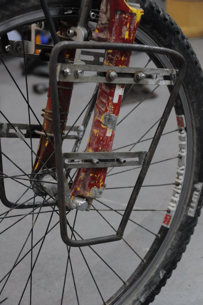
The journey to here has taken longer than expected. From Denmark I flew to
Hong Kong where I ended up staying unexpected 12 days waiting for a front
香港,在那里浪费了我12天时间,只为等我自行车的前叉
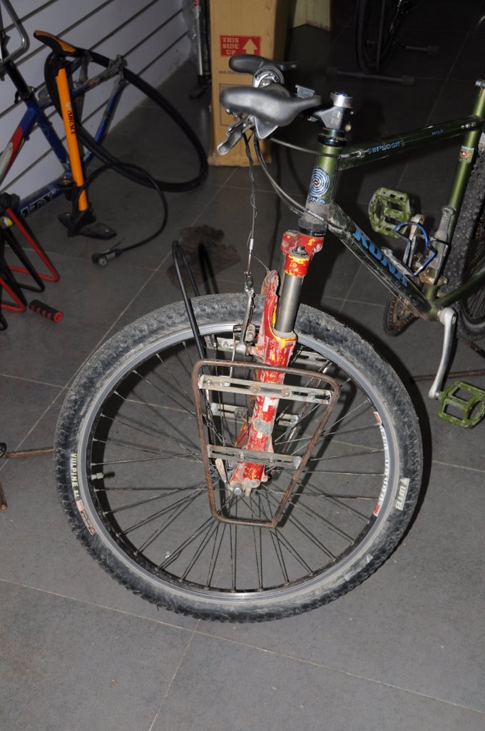
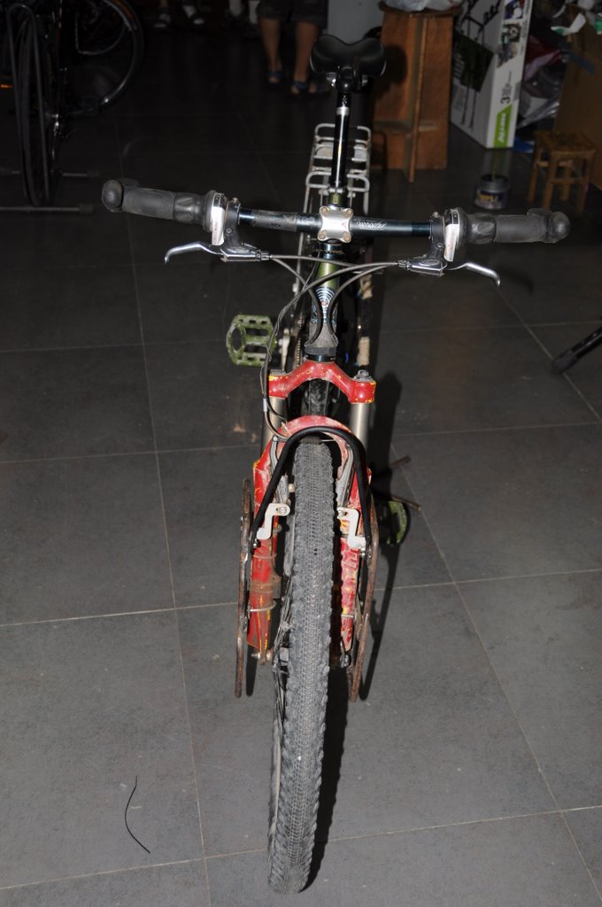
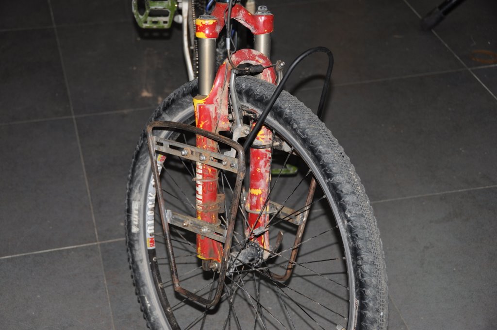
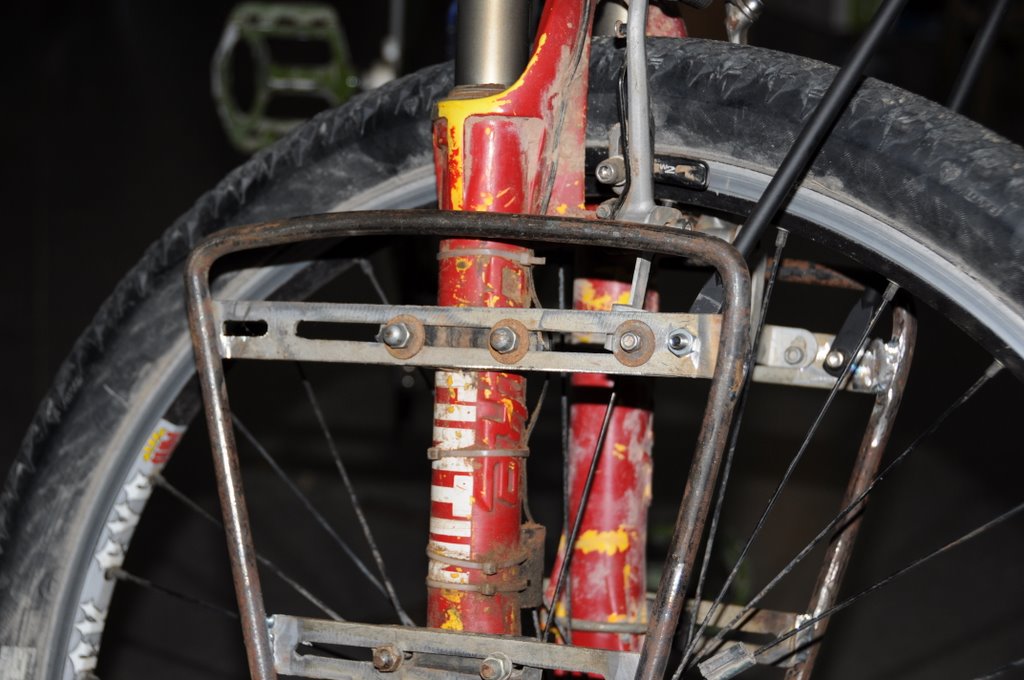
rack for my bicycle which a company failed to deliver to me in Denmark before
departure which they had promised. The reason for travelling over Hong Kong
was to get a 6 months Chinese business visa which I got in 4 hours. I liked
我只花了4个小时便可以得到6个月的中国商务签证,我喜欢
staying in Hong Kong because I love
its ‘Blade Runner’ atmosphere, the ethnic and cultural mixture – e.g. in
此间有一种《银翼杀手》(译者注:雷德利.斯科特的著名科幻电影)电影中的氛围,种族和文化的融合,例如在
central Kowlon lays a mosk which got a banner for McDonald on a sidewall.
>From Hong Kong I flew to Chengdu where I was shocked when told by two travel
从香港我飞往成都,当两个旅行代理告诉我可以提早10天就飞往拉萨时
agencies that I could earlies fly to Lhasa in 10 days. Normally it only takes
我感到非常震惊。一般来说只需提早2至3天预约便可以搞到入藏的许可证然后飞往拉萨
two or three days to get the nessary Tibet permit in order and fly to Lhasa.
The problem was the 40 years aniversary for establishment of the Tibet
autonomus region on the 1. september, which created long delays for
travellers trying to get into Tibet due to political reasons. I was however
lucky and found after a intense search a travelagent (Sams Guesthouse)which
幸运的,经过极力的寻找终于找到一家旅行社(Sams Guesthohuse),
seemed to be better at corruption than the competitors.
Together with a group of backpackers I flew to Lhasa
with less than 25% of the seats full. After a 90 kilometers busride we
机上的上客率不到25%,坐了90公里的大巴后到拉萨,
arrived in Lhasa only to smell the remains of the massive amount of fireworks
from the day before when the celebration took place. I spend four days in
那是几天前的40周年庆典残留下来的。我在拉萨呆了四天
Lhasa for acclimatising and sightseeing. I only wanted to stay three days,
一方面是适应一下另一方面也顺便观光一下。我其实只想呆三天,
but a mild altitude headage and singing sirens in the shape of backpacker
但轻微的高反头痛和有着背包客的外型实质是歌唱着的妖精的女孩(指奥德赛中唱歌的妖精)
girls keept me in bay for a landcruiser trip to Gandan monastic and Yamdrok
把我留了下了参加一次乘陆巡去甘丹寺和羊卓雍错的旅程
Co. The road up to the pass before the lake has now been paved, a stark
contrast to 1998 when I used 9 hours to cycle up the gravel road to the pass-
对比一下1998年真的是天上地下,当年我用一辆在拉萨花了40美金买的山地车花了9个小时
top with a 40 usd mountain bike bought in Lhasa.
I started cycling which was rather hard after not cycling for one month
我开始骑行,感觉实在有点辛苦,特别是一个月没有骑车,除了
except for a sucidial 5 kilometers ride on Natan road in central Hong Kong.
除了在香港市中心的Natan路上骑了自杀式的5公里路
Somehow I forced my old body into the bikerytm again and reaced Shigatse, the
不管怎么样,老汉我打起精神骑行,三天后终于抵达日喀则这个西藏第二大城市。
second largest city in Tibet after three days of cycling. Here I stayed at
Tenzing Hotel where I was spectator to a rather unorthodox cyclist behavior.
A dutch couple, who apparently had been on the road for 1 1/2 years had hung
一对荷兰夫妇,他们明显已经在路上呆了一年半时间了,已将
a couple of trouhers out on the balcony in the hotelyard for drying. The
trousers had gone missing and when I arrived the Dutch guy had begun to throw
50 cm wide old flower vases down into the hotel yard threatening to throw one
more down every 5 minuts until his thrusers turned up again. I walked away
并准备如果他的长裤不出现的话,就每5分钟再扔一个(怕怕),我走出去
shaking my head wondering if that was his normal behavior or it was the
frustrations from 1 1/2 years of cyling coming to the surface.
Walking over the a small turist market just opposite the hotel, I kept
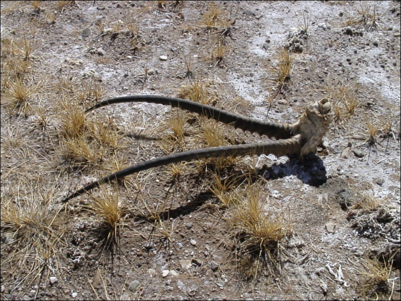
shaking my head. Here I could buy horns for about 5 usd for a set of horns
我禁不住一直在摇头。在这里我可以买到濒危的藏羚羊的角
from threatened Tibetan Antelopes, even whole heads I could buy – I counted
31 horns including two whole heads. The number was about the same for Tibetan
我数了一下,这个市场里共有31个角还包括两个完整的头。这个数量大约与改则县的
Gazelles. These elegant animals belongs to the vast emptyness of Tibets Chang
数量相同。这些优雅的动物应该属于广阅无边的藏北羌塘高原
Tang, not in a dirty souvenir market.
>From Shigatse I biked to Lhatse on a highway under constuction. It wasn’t
too bad for cycling except for a pass which looked like it had been invaded
除了一个山口似乎被远处蚂蚁入侵,其它的对骑行来说没啥问题
by ants on distance. However, it was an invasion of engineer mashins which
forced me to push the bike most of the way up the pass through mud and
我不得不下车推行从整条塞满工人和陆巡的烂泥路中穿过
inbetween workers and landcruisers.
[ 本帖最后由 好风长吟 于 2008-8-26 23:28 编辑 ]
Well down from the pass, I met better roadconditons toward Lhatse and
frequent yelled “tashidalay” (hallo) to the kids I passed along the way. A
group of three kids were not satisfied with only a greeting, but wanted me to
有3个一起的小朋友似乎对只是问候一下并不满意,希望我停下来
stop to hand out candy. When I continued, I was hit by a rather big stone on
给他们一些糖吃。但我没有停下来,老天,一大块石头飞过来击中我的右手
my right hand and I squeezed the brakes so hard the bike turned sidewise when
我急捏了一把车闸,由于用力太猛,车子斜向一边侧滑后才停住。
it came to a standstill. After a hot pursuit across two fields I felt pretty
confident the kids were terrified to death and wouldnt throw stones after
我很有自信他们已受到死亡恐吓,并且决不会在今后再向
other cyclist in the near future. I let them run and biked the last stretch
骑行者丢石头。我放跑了他们,然后继续骑行在延伸到拉孜待铺设的最后一段路
of road to Lhatse which was about to be paved.
In Lhatse I was taken by a Tibetan to a dirty hotel room where Johannes was
在拉孜我被一位藏民带到一个脏兮兮的旅馆房间,Johannes在那里等我
sitting. Johannes, a young 19-old German bought a 200 usd bike in Lhasa and
Johannes是个十九岁的德国小子,前些天在拉萨买了一辆200美金的自行车
started out on a bike trip to Kathmandu the day before I. He had been vise to
take another road from to Lhatse and avoided the road construction fuss. We
shared the room together before he took off early the next morning to try his
strength on a 5000+ meters pass on the way toward Nepal.
I passed an easy checkpoint just after lhatse by cycling though it while the
guard was busy checking a drivers licience. After turning off to West Tibet,
the road became rather bad while going up the first of a serie of passes
道路变差了,特别是此去先经过的一系列海拔在4500米以上的山口。
around 4500 meters high. The weather also detoriorated and I spend one
afternoon in purging rain while going over a pass, the desent very prone to
landslides. Lukely, I found a small Tibetan restaurant where I spend the
night. Here I wondered how the future looked for the owners small child, here
in a place where any school was very distant away.
Slowly I worked my way up into a landscape in the proximity of 5.000 meters
where I came to Raka, a depressing soul-less truckstop with the mandatory
在那里我来到,一个令人沮丧的丢了魂的卡车停靠点,有着指定的
restaurants, shops and truck workshops. He I talked a bit with a truckdiver
餐厅、商店和卡车修理厂。在这里我和一个卡车司机谈了一会
in a Hui-restaurant – a muslim Han-chinese restaurant – the best restaurants
在一个回民餐馆,即汉化的穆斯林的餐馆,也是附近最好的餐馆。
around. I showed him on a map where in Tibet I had cycled and he seemed very
我把自已在西藏骑行过的路线在地图上指给他看,而他侧似乎十分地困惑
puzzled. In a way I understand. For him the roads in Tibet only represents
我是这么理解的,对他来说西藏的路只代表着艰苦的工作,
hard work, but for me they have a higher meaning. They give me access to
但是对我则代表更高一层的意义。他们给予我一个访问无边界的
unfenched freedom and the opportunity to enjoy one of the most amazing places
自由的机会,和一个享受这个地球上最神奇的所在的机会
on earth – experience the uniqueness of the Tibetan plateau.
There was supposed to be a checkpoint at Raka, but I meet nothing when I
passed the normal turnoff from southern route to the northern, a route which
但当我从一个普通的叉道经过,从南面的路掉头向北时,我什么也没遇到
would bring me fast to Gerze, but I had other plans. A friend of mine, Janne
这是条通往改则的近道,但是我不想走这条近道。我的一个朋友,Janne Corax
Corax, had been so evil to mail me pages from a Chinese road atlas over
Tibet. According to these maps I would by going futher on in the southern
part of Tibet run into roadpasses which should be the highest on earth, even
5800+ meters roadpasses might be possible. That was too irresistible for a
有些山口可能在5800米以上。对于一个彻底的梦想者,发自心底的山口讨厌者,但又
thoroughly dreamer, pass-hater by heart, but always ready for a challange how
随时准备接受挑战的这样一个矛盾的混淆在一起的人来说,真是太有诱惑力了,呵呵
ever obscure it might be.
There was one backdraw with this plan, a heavy manned checkpoint before the
拉这个计划后腿的只有一条,在下一个名叫萨嘎的镇之前有一个重兵把守的检查点
next town called Saga. I had talked with two backpackers who had been caught
and turned back at the place, also some truckdriver warned me but there was
no way around it. When coming down
没有其它的路,当从5100米的山口下山朝萨嘎骑去时
toward town from a 5100 meters pass, I was in a I-will-show-the-
gongan/psb/police-mood and cycled right into the heavely
manned checkpoint – they had military uniforms. They called the police in
saga and a police landcruiser came to the checkpoint and told that I had to
get a permit in shigatse. I said there was a bit long to shigatse on a bike
and why getting a travelpermit here was problem since I got one in Ali three
而且为啥在你这里搞到一张通行证就有问题?因为3年前我有去阿里的通行证
years ago and got one in Darchen last year. They talked forth and back about
this and in the end they took me to the police station in town and told me
that if I paid a fine of 300 yuan (30 USD) I would get a receipt I could show
如果我肯支付300元(就是30美金),那我就可以拿到一张收据
in Ali as proff for paid fine. Ali psb then would have to give me a permit…
到时我把这张收据给阿里的警察叔叔们看,然后我就会得到通行证了云云
I belive they only were thinking into the money since when I left the room
the 5-6 police men started laughting like mad men – maybe they just got the
money the ali police normally get… I dont know and don’t really care
阿里警察一般能拿到的钱。。。(丢银啊!)我不知道并且我也不关心
because I don’t go to Ali.
In Saga I met a lot of Indian pilgrims going to Mt.
在萨嘎我遇到很多印度的朝圣者,他们要去后藏的岗仁波齐转山
Somehow they didn’t fit into the street picture walking around in thick down
他们穿的厚厚的夹克似乎总是与街景有点不太谐调,因为
jackets while local were wearing t-shirts. I left Saga and while heading up
当地人只穿着T恤呢。我离开萨嘎,在骑向离镇最近的第一个山口时
the first pass outside town I met two swiss bikers who had made it to there
from Kashgar in the Xinjing province. To my amazement they told that one of
their biggest problems had been high-altitude mosquitos. In Chinese Kashmir,
他们其中的一个最大的麻烦是高源蚊子。在中国的喀什米尔,
Aksai Chin, they had to bike with their mouth covered in order not to swallow
阿克赛钦地区,他们不得不遮住嘴巴骑车,以使自已不会把这些该死的虫子吞下肚
the small bastards. In Aksai Chin they also stopped at a military camp to ask
for water – water is scare in the area – and some soldiers were about to fill
在这个地方水有点恐惧-当士兵正准备将瑞士人花俏的自行车水壶注水时,
up their fancy bicycle bottles when a military vehicle came to the base and
out jumped a group of officers with raised maskinguns. They thought the Swiss
werer threathing the soldiers with fancy weapons – the bicycle bottles. In
the end they had to leave without water.
We separeted after talking for an hour. On the other side of the pass worked
Chinese soldiers on leveling the road with shovels. The commander of one of
一些中国士兵在工作,用铁锹把路面加高。其中一队的指挥官
the groups invited me to stay at their place overnight which I could say no
to. I did so four years ago in Aksai Chin because I would have had to break
四年前在阿克赛钦同样有过这么一次,因为我不得不破坏自已的
my golden rule – cycle every centimeter of the road. I have now grown older and have
黄金法则—骑行者用自行车丈量道路的每一米。现在我变成熟了一点也变得更实用主义一些
become a bit more pragmatic and in the end I drove with them for 15
最后我和他们一起开车15公里到他们修路的营帐,在我之前骑过的路上。
kilometers to their road construction camp on a road I have cycled before. A
whisle blew soon after arrivial and everyone ran to the dinnerroom and I was
placed next to the commander, a odd character who seemed to be respected
安排坐在指挥官的旁边,一个古怪的角色,他似乎靠年龄得到大部份的尊敬
mostly by age and the strange things he could come up with if the soldiers
他还有一种很奇怪的东西,如果士兵不服从他能立即赶上
didnt obey immediately – like throwing a rock after them. Then a officer
tried to explain me what to exect of the small roads I wanted to bike, the
commandor just cut him of, in practise telling that it would be nut for me to
指挥官打断了他,实际上他是说只有疯子才会在那儿骑车。
The next day I turned off north into the Gangdise mountains where there
golden high passes according to the maps were suppored to be. After a long
就是地图上所指示的黄色的高高的山口。在一个长长的上坡路后,
uphill, I slept outside a shepards house. He told that there were two big
我在一处牧民的帐篷外睡着了。他告诉我前面有两个大山口,
passes in front, Shaksha La and
Sanmir La. I was also told the road would
anything but good. The first pass, 5215 meters wasnt bad but I was
第一个山口,5215米虽然不算坏,但我感觉上有点失望,
disappointed in the sense that a shepard I talked with punctured the dream of
one of the possible 5800 meters roadpasses. There simply wasn’t any road up
the pass I considered going over – not a truck – not a bike could go there –
I would have to walk I was told!
After eating some Tsampa (barley with buttertea) I was offered in the
在牧民家吃过一些糌粑(混合了牛油和茶的大麦粉)之后
shepards home I went for the Sanmir La, quite big I was told. It certainly
was! The road was very stony and the pass itself, 5504 meter laying in the
而它确实很大!路上碎石很多,山口海拔5504米处在7095米的高峰的阴影之下,是一个
shadow of a 7095 meter mountain was extremely flat pass – it took ages to get
over it. While going over it, I had several memory flash back on the kerriya
在翻越山口的过程中,某几个时间我的记忆闪回到克里雅
shankou pass (5604 meters)in Nordwest Tibets uninhabited Chang tang.
Fantastic landscape where six Kiangs (wild Donkies) wondered what I were
doing there. After another 5467 meters pass, I went down into a greenish and
到这儿来干吗。又翻过了一个5467米的山品后,我向下来到一个稍微有些绿色和
lushish valley after a crazy descent where I had to stop because I feard the
tires would explode from the heat from the rims, so hot I couldn’t touch it
因为担心刹车后巨烫的轮圈会使轮胎爆炸,它太烫了以致于
After a few minor rivercrossings which demanded taking off my boots I
followed the valley toward north while big towering mountains to the west
我顺着山谷向北,西边是一些巨大的尖尖的山峰沿途伴随
should contain what I had been dreaming about for a while, the highest
roadpass on earth, 5746 meters acccording to the Chinese road atlas.
地球上最高的山口,按照中国道路地图集标注的高度是5746米
Unfortunately, despite looking intensely for a road up into the mountains, I
only found some very weak trails a few places and I simply didn’t believe
还是只能在个别地方找到一些非常模糊的路迹,而且我简直不能相信
there was a road up to a place 40 km away in direct line
在胜利湖以北的山中会有一条路会笔直地通往40公里之外
in the mountains north of sengli lake. For truck drivers it makes more sense
因为那些很有路感的卡车司机开车转整座山里也会转晕了头
to drive around the whole mountain complex on the road there.I could have
gone up there, but in my eyes there is not a road up there.
Unfortunately, I missed a tempting and very easy 6000+
很不幸,我错过了一个极有诱惑力的6000多米的山峰
meters peak near the 5504 pass since the the 5746 meters roadpass was higher
它看起来比较容易攀登,就在5504米的山口附近,因为5746米的路口在我的名单中更高
After a long haul through some places where the road took kilometerlong
在一个长长的推行,通过几公里长的绕道转过巨大的河床之后,
detours when dealing with big riverbeds, I came to Lunggur, a place several
我来到了Lunggur,这个地方有几个藏民曾谈论过,
Tibetans had talked about as if it was a major town. I was very disappointed
by this town, only small shops and a few bad tibetan restaurants. The next
day I hurried toward north – Gerze should be three days away I had been told,
我继续向北赶路,有人曾告诉我改则就只有三天的路程了
unfortunately I wasted 11 kilometers on taking a wrong way and when I got
back on the right track I had to go over a ridiculus steep pass I was barely
为转回到正确的道路,我还不得不翻越一个非常陡峭的山口
able to push the bike over.
After cycling a whole day where Kiangs were seen
in large numbers, I came to a huge building complex under construction next
成群的藏野驴,我来到一个挺大的让人摸不着头脑的正在建设中的大楼前,
to a lake which turned out to be a Lithium salt plant. I was dragged in there
by a delegation of engineers from Beijing on a inspection visit. They were
about to leave for Lhasa the next morning and had a small social gathering in
他们次日早上要离开此地到拉萨,正要在晚上搞一次聚会
the evening where the chef engineer, a distracted older man tried to get me
drunk while I told him about the places in Tibet I had cycled on road he
灌醉,当我告诉他我在西藏骑行过的地方而他宣称并不存在。
The next morning I was invited for breakfast by one of the engineers, a
Tibetan who had grown up in Rungbuk in the shadow of Mt.
brother now is munk in a local monasty.
From the Lithium plant, I used two day to bike to Gerze on confusing roads,
roads going in different directions but ending up the same place.
这些高原上的路有很多不同的叉路但都通向一个目的地。
Staying her has been pleasent, but somehow I am now fed up with this place, I
呆在这个地方有很多乐趣,但无论如果我有点厌倦饱食终日,
just want to get on and face the Chang Tang after a four days food party
here. Also, the hotel staff begin to wonder what I am going to use all the
虽然,旅店的人员有点儿困惑我为什么拖了这么多食品到旅馆里
food I drag to the hotel for. Official I just tell people I go to Ali, the
我冠冕堂煌地告诉人们我要去阿里,一个西藏西部的重要集镇,
main town in west Tibet, but that 35 kg. of food is a bit much food going to
All right – no more writing – I leave tomorrow for the big adventure
好啦,不想写啦,我明天就出发,去进行这个伟大的探险去啦!
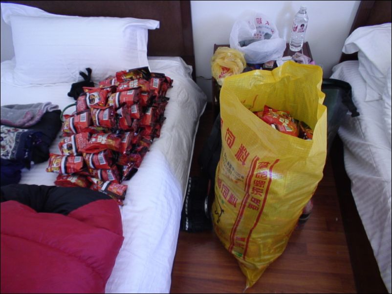
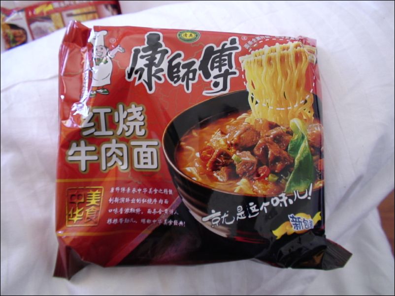
135 packages of instant noodles. In Gerze
Instant beef noodles, the best kind on the market. Gerze
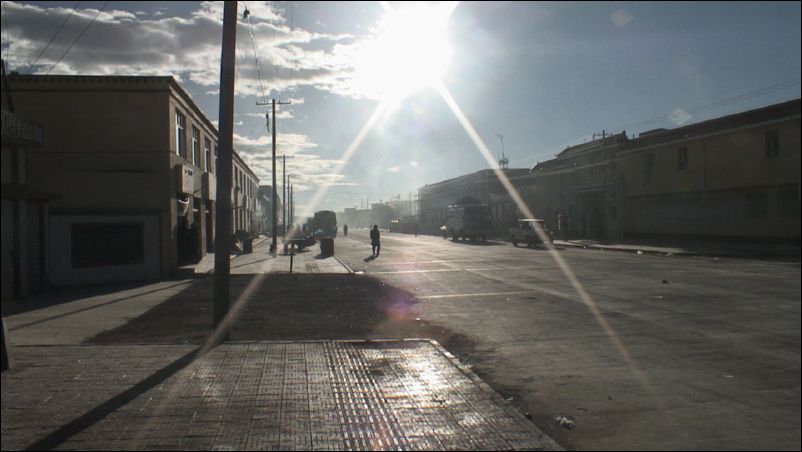
Gerze, dusty and cold at 4450 meters.
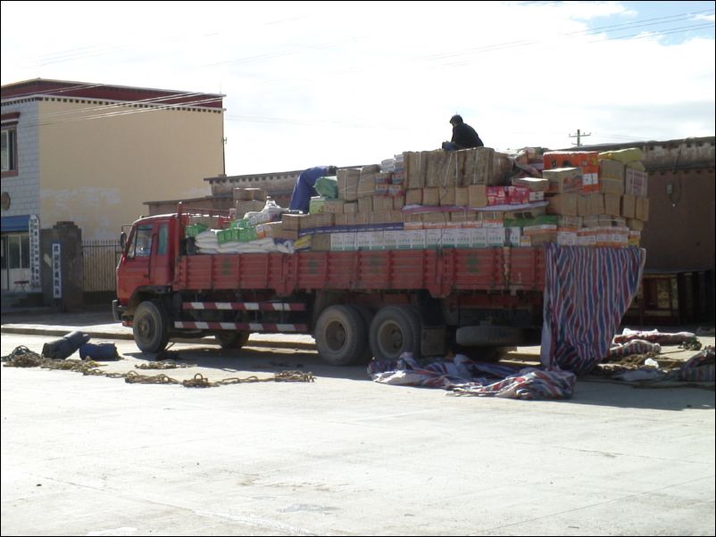
Truck with supplies for Gerze
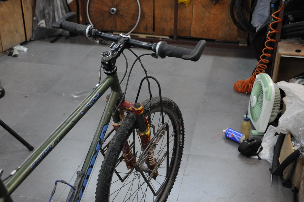
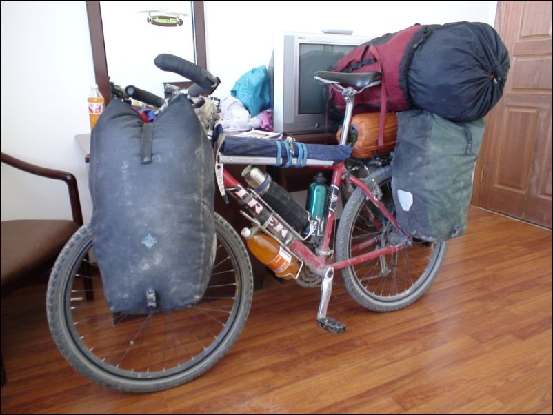
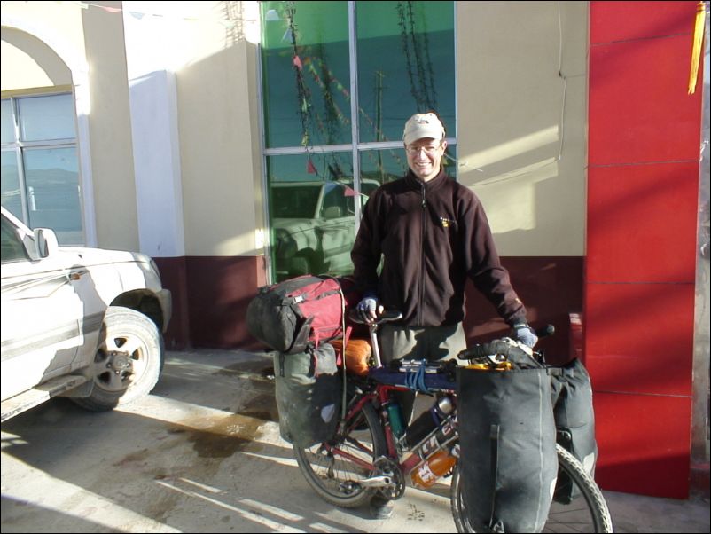
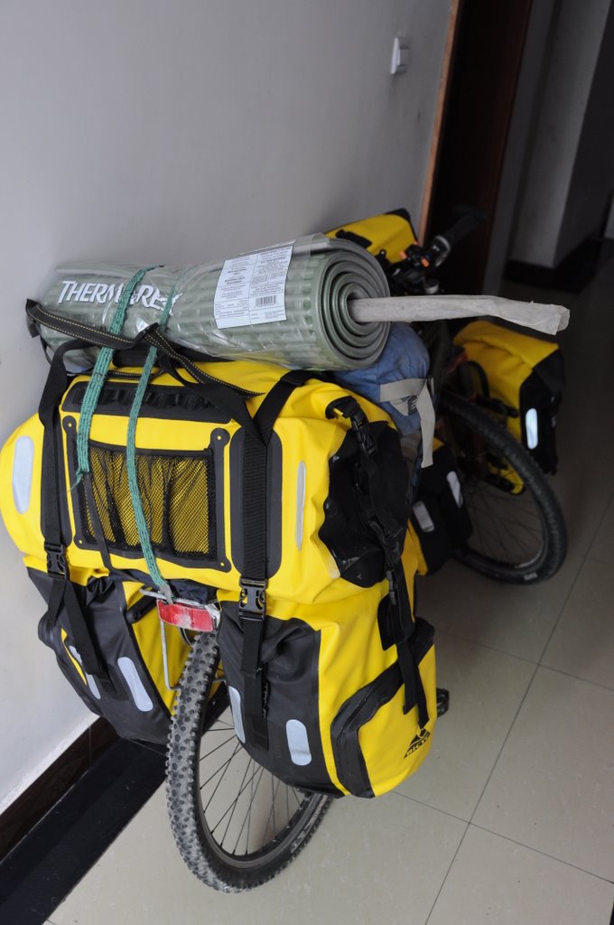
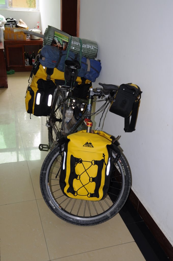
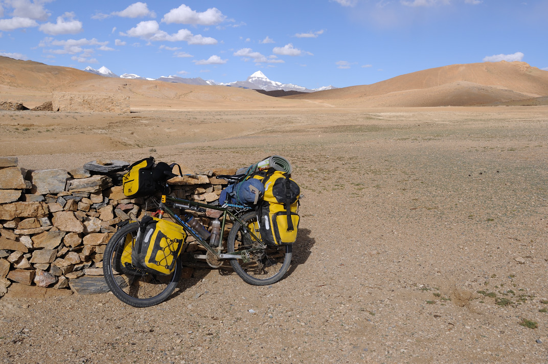
Fully loaded with 35 kg. of food, 7 L of gazoline and 3.25 L of water
Outside hotel, about to leave Gerze
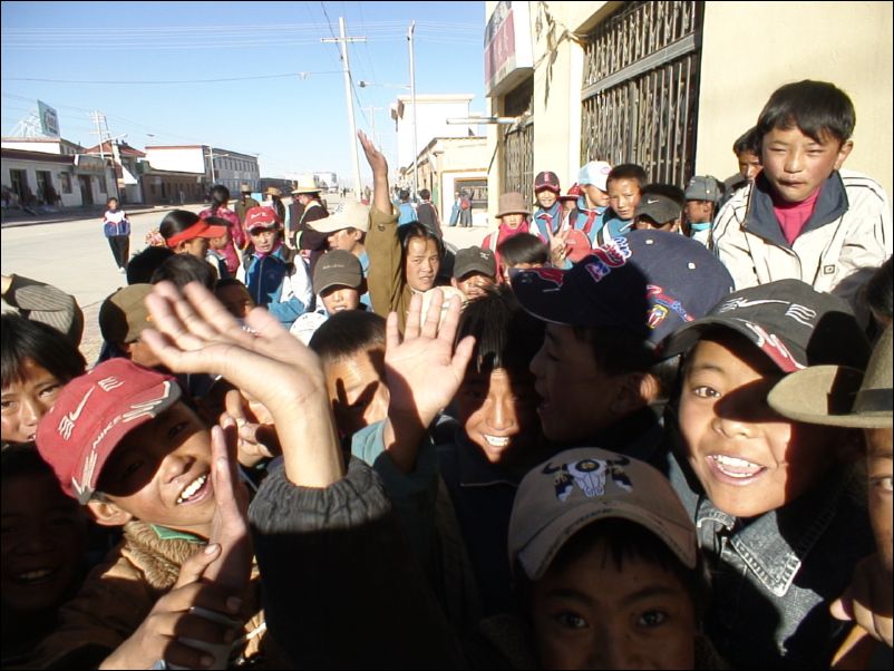
Ran into kids just outside school. Gerze
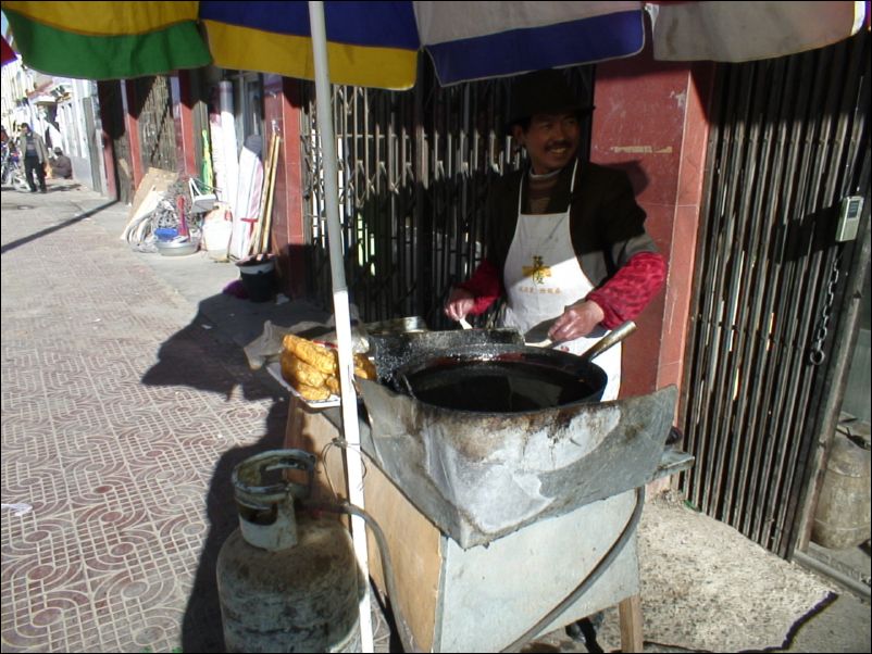
My breakfast place. Gerze.
My breakfast place. Gerze
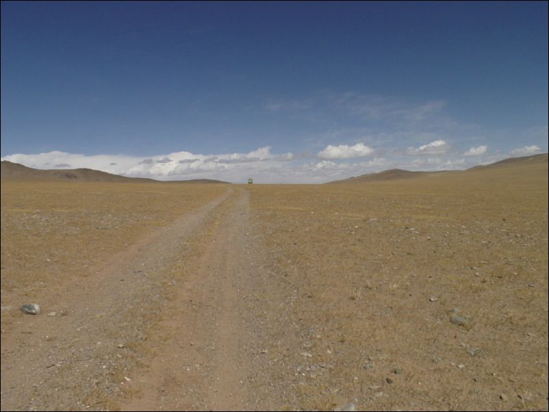
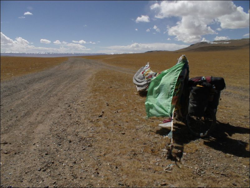
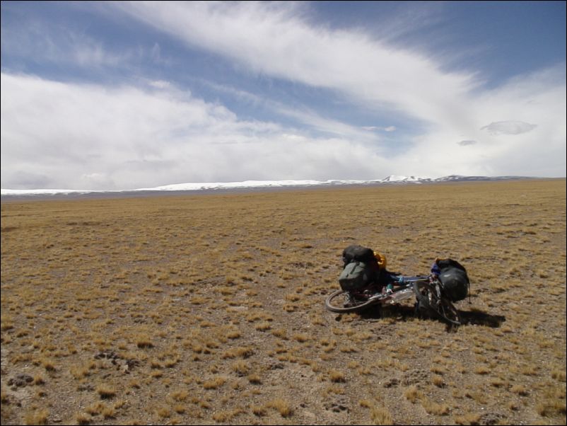
Started cycling into Chang Tang, north of Gerze
Started cycling into Chang Tang, north of Gerze.
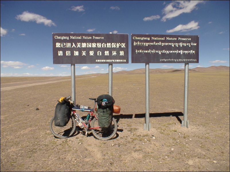
Sign for the Chang Tang national nature preserve
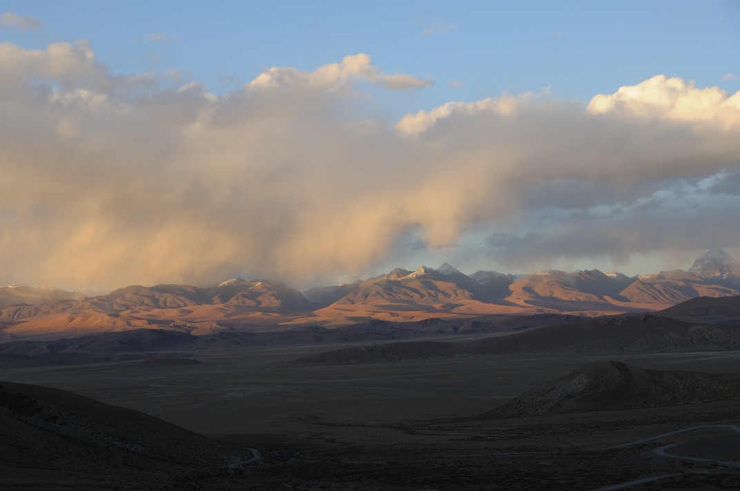
Light late in the day. Toward Chang Tang.
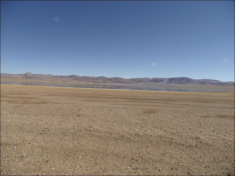
Lake on the edge of Chang Tang.
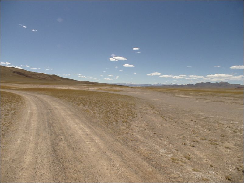
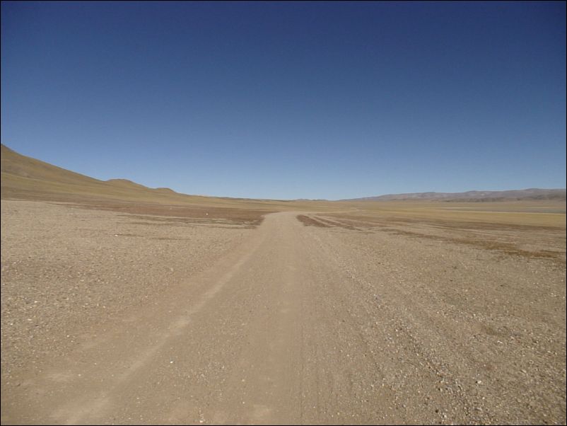
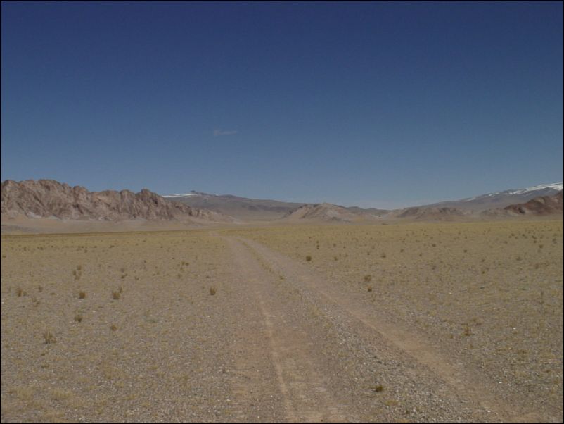
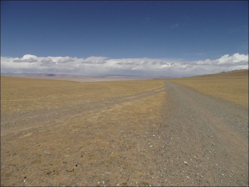
Truck trail toward Chang Tang.
Pass in front. Approaching Chang Tang
Top of pass, late in day. Toward Chang Tang
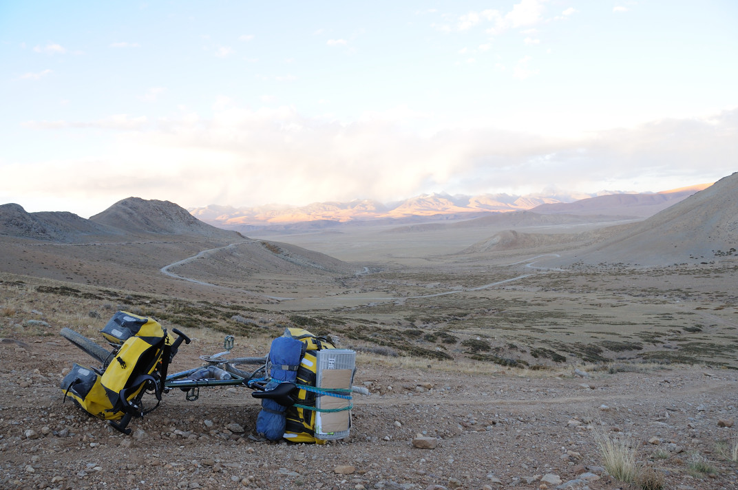
Long downhill toward next pass in front. Toward Chang Tang
View toward east. Approaching Chang Tang.
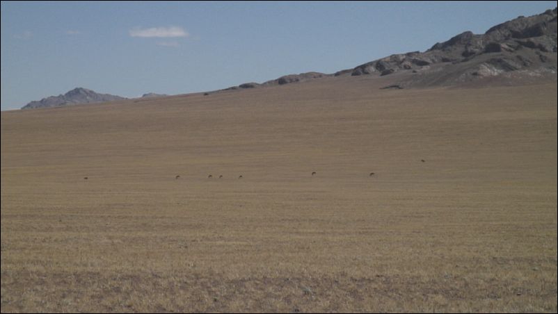
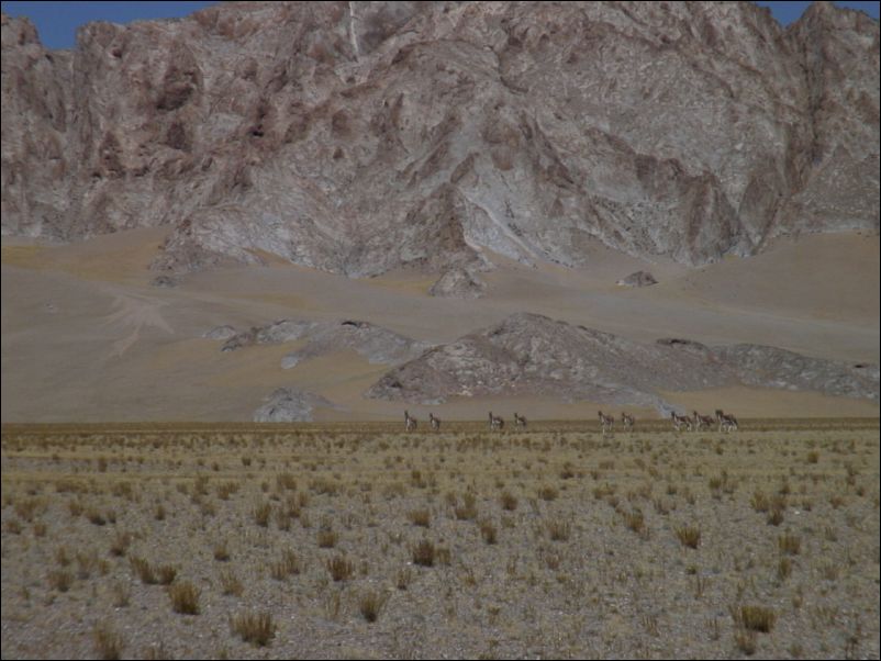
Donkeys next to road. Toward Chang Tang.
Looking back toward southwest. Into Chang Tang
Downhill from pass toward salt lake. Into Chang Tang.
Salt lake. Toward Chang Tang
Looking to west from edge of salt lake. Into Chang Tang
Heading toward small pass. I somehow miss Lugu(鲁谷). Into Chang Tang.
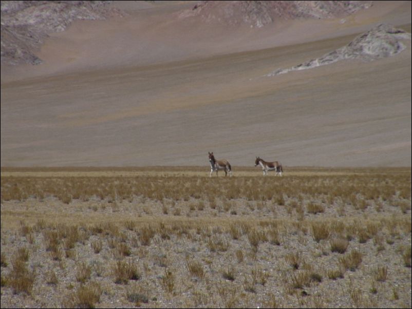
Curious donkies. Into Chang Tang.
Curious donkies. Into Chang Tang.
Top of small pass. Into Chang Tang.
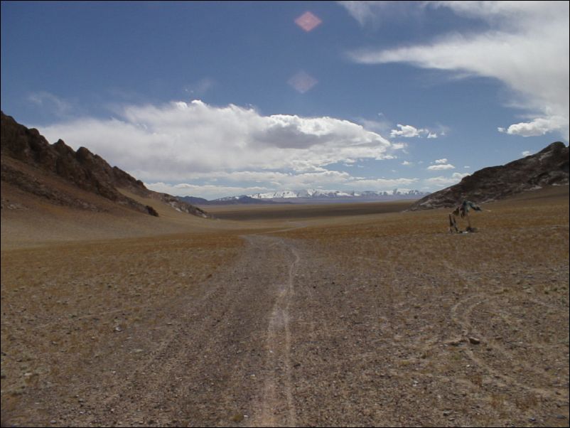
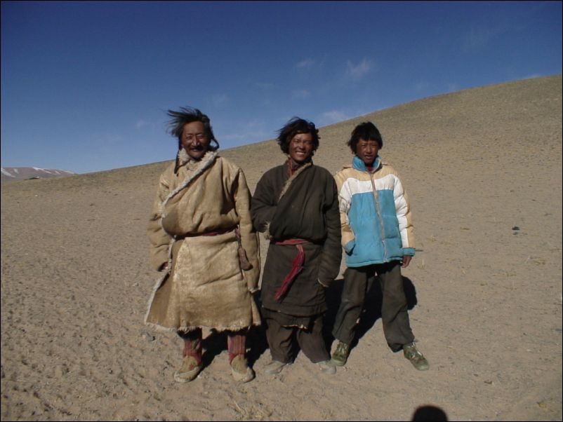
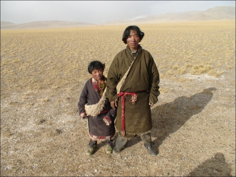
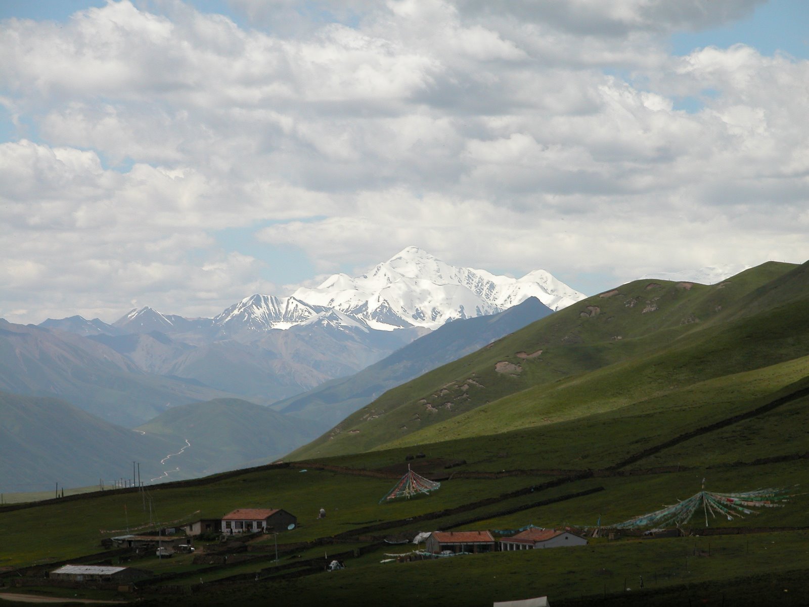
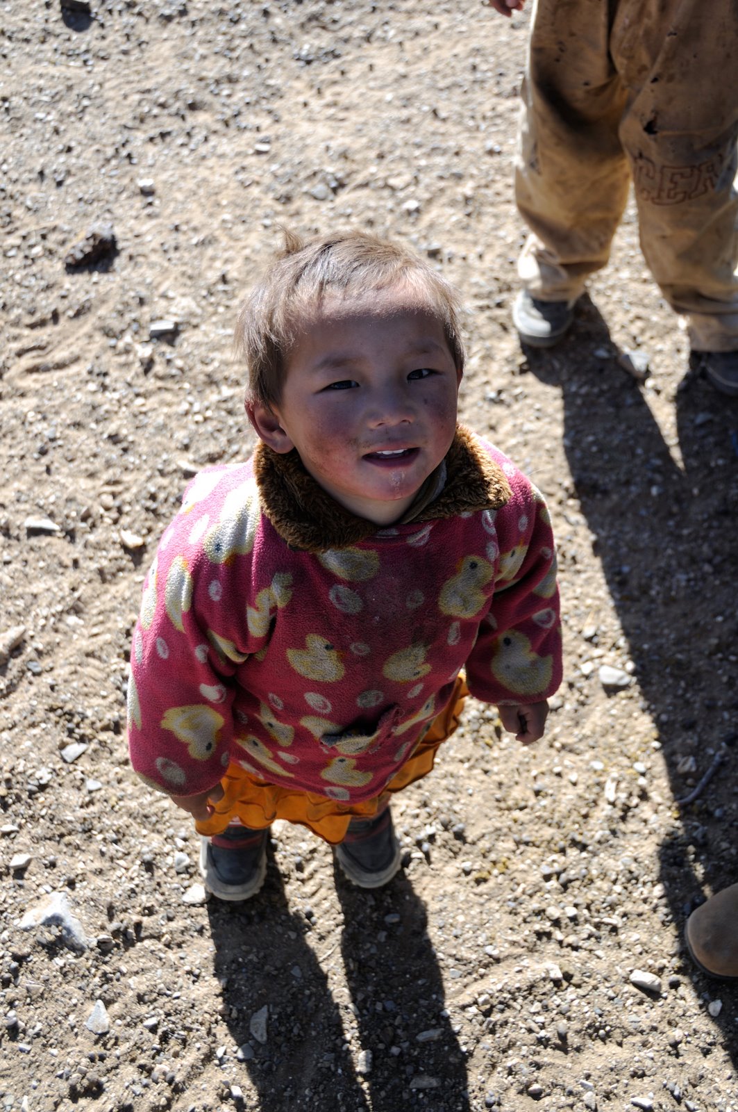
Nomads on the edge of Chang Tang
Nomads on the edge of Chang Tang.
The local gang of shepards. Into Chang Tang
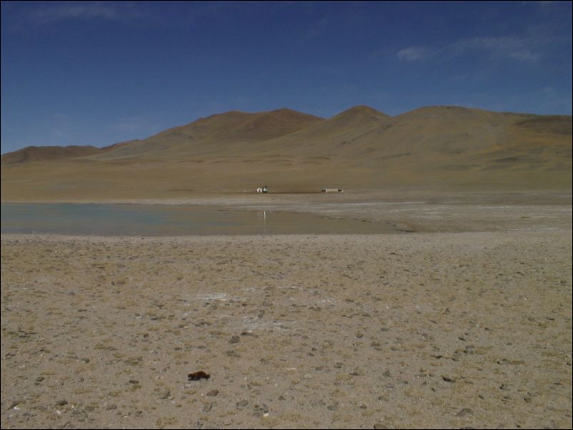
Small lake: Into Chang Tang
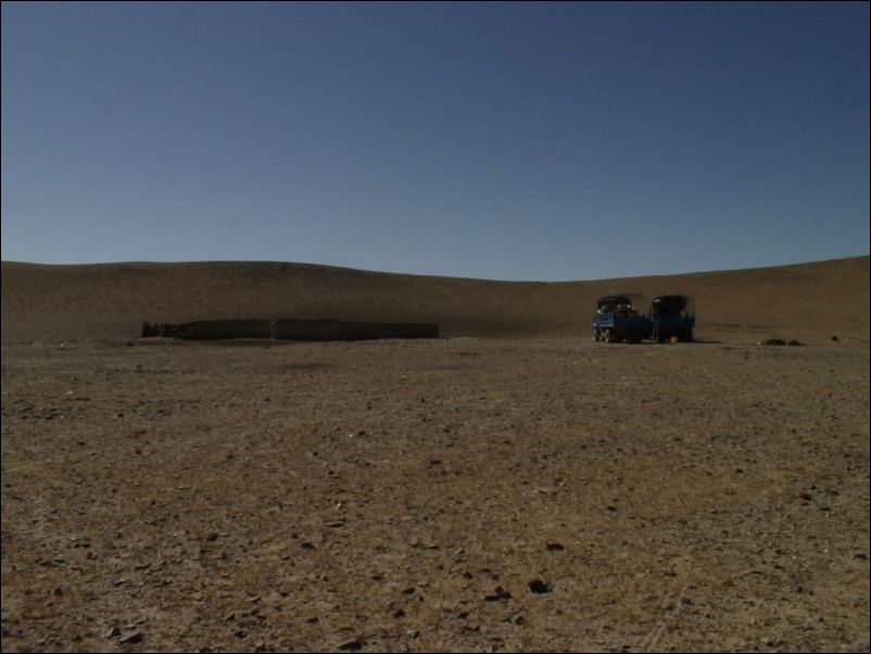
Shepards and Dong Feng trucks. Into Chang Tang
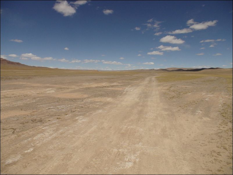
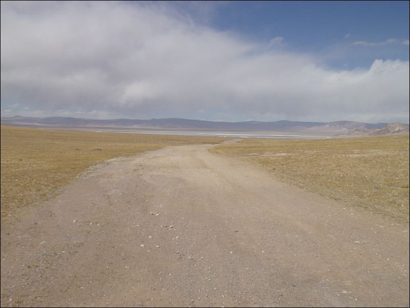
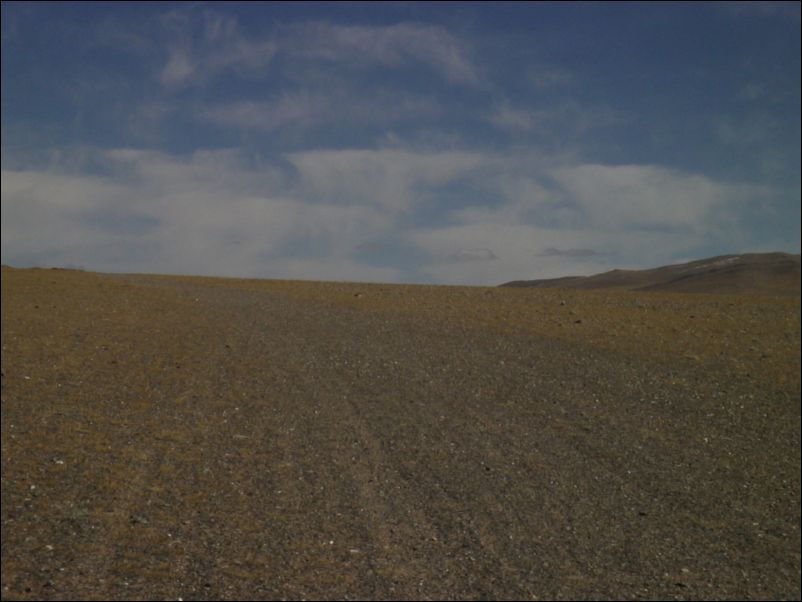
Deteriorating truck trail. Into Chang Tang
Truck near top of pass. Into Chang Tang
Top of pass. Into Chang Tang
Downhill to salt lake. Into Chang Tang
cycling east around lake. Mountains to the south. Into Chang Tang
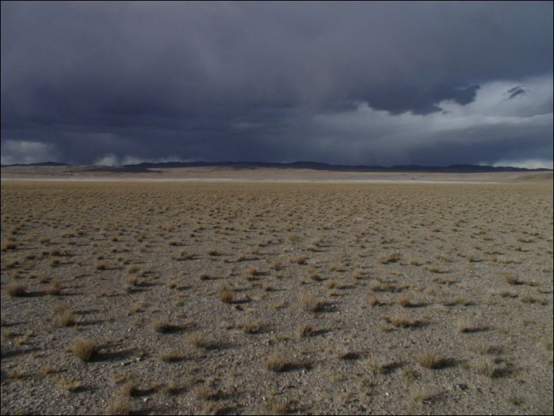
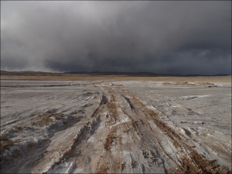
Bad weather coming in. Into Chang Tang
Going north east around lake, really bad trails.
Weak trail leading up to pass in front
Looking west after pass. Into Chang Tang
Cycling east around small complex of hills
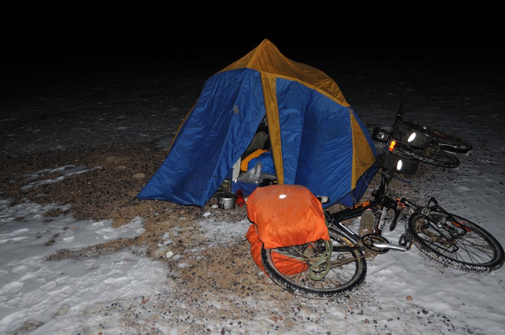
Shepards in front. Sleept this place
Friendly and curious shepards. Helped setting up my tent
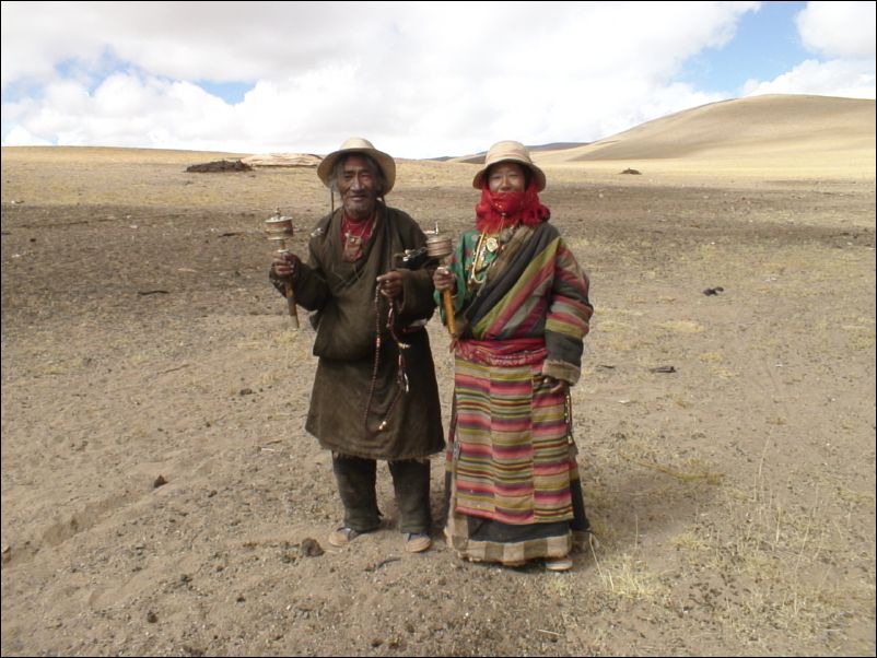
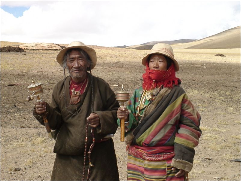
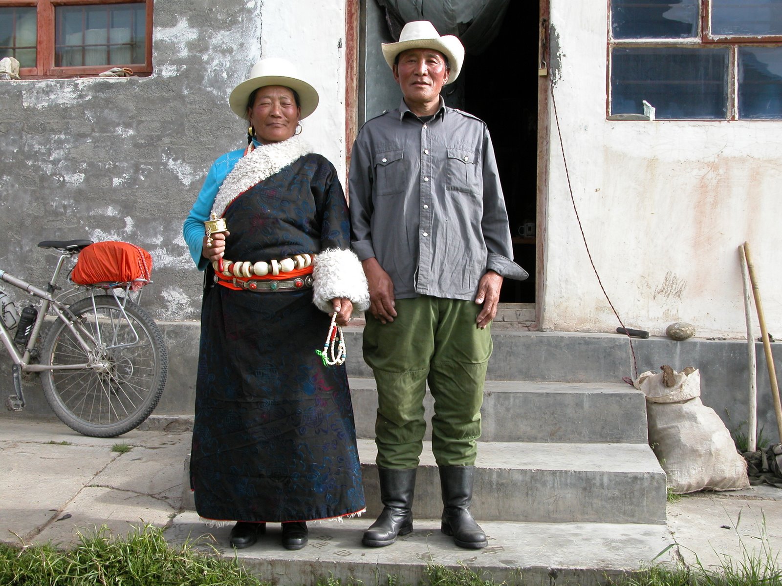
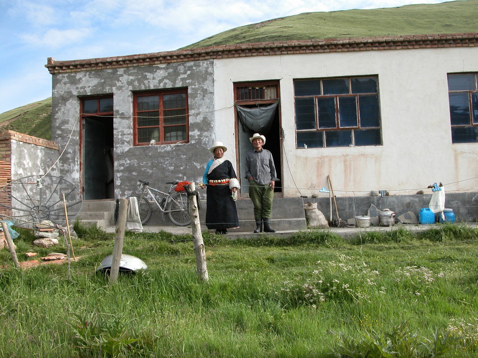
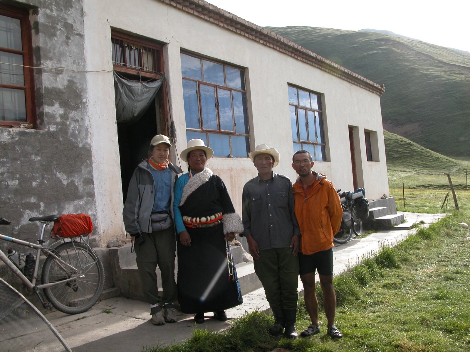
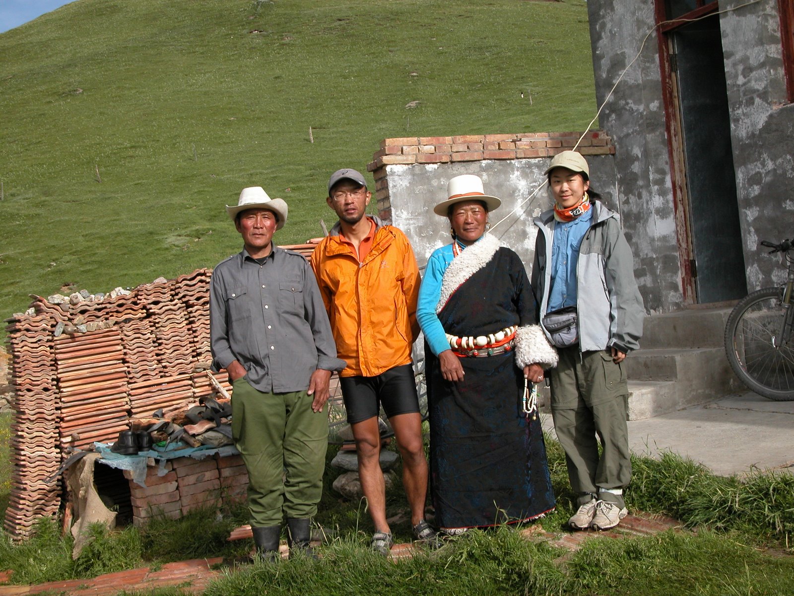
A old couple on the edge of Chang Tang.
A old couple on the edge of Chang Tang
Just gone over pass. Last people in 19 days just left behind
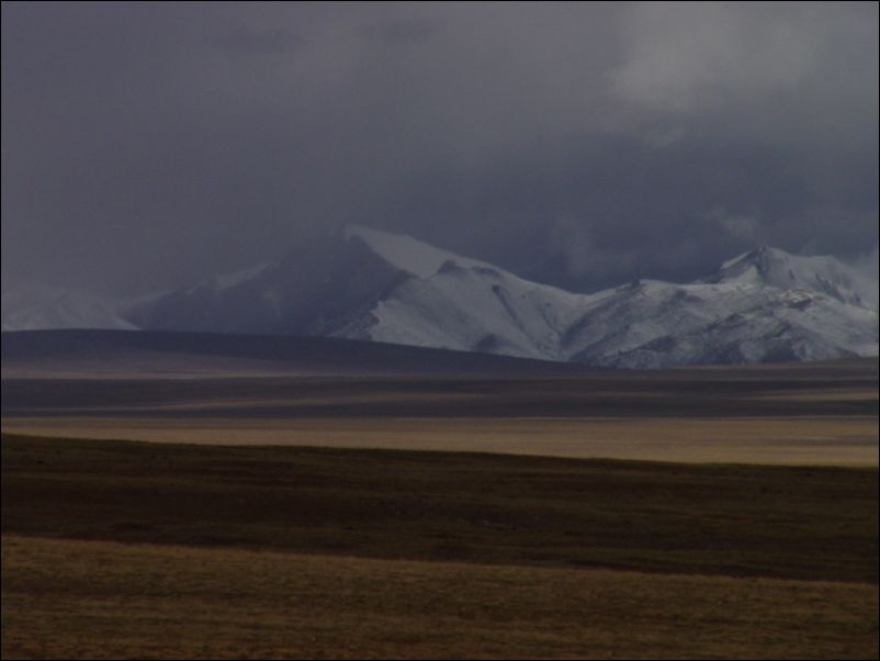
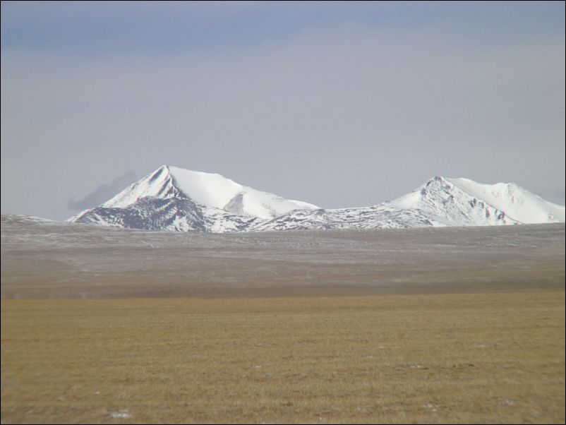
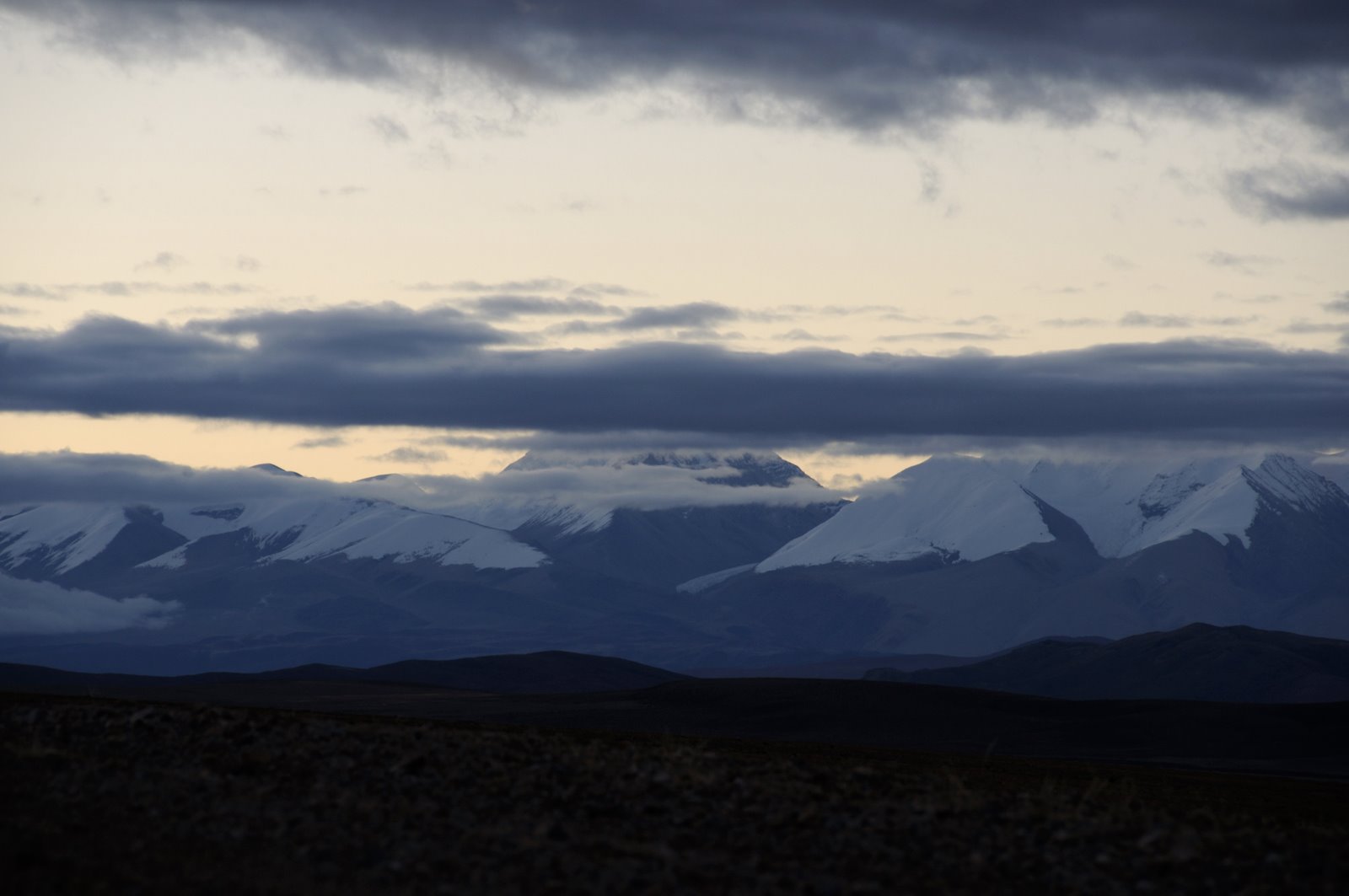
Peak to the west I considered climbing before the trip. Too much snow, too steep and too bad weater…
Peak to the west, some 6100 meters
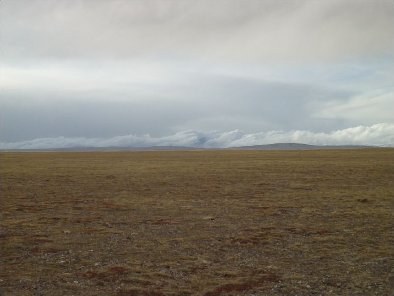
heavy clouds over mountain complex to the west
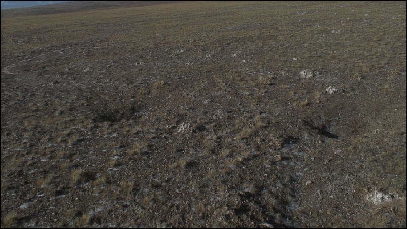
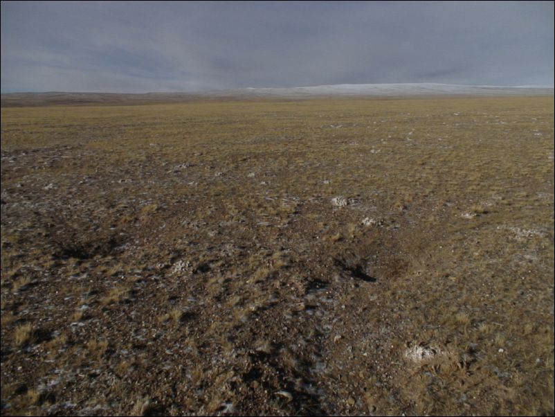
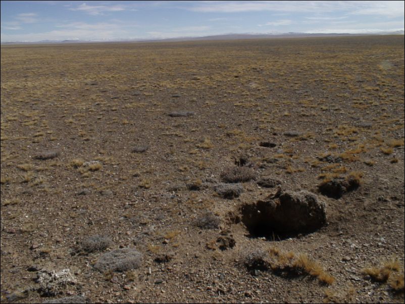
Holes dug by animals searching for water. Chang Tang
Holes dig by animals searching for water. Chang Tang.
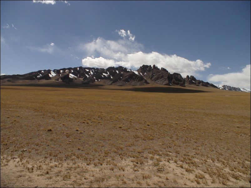
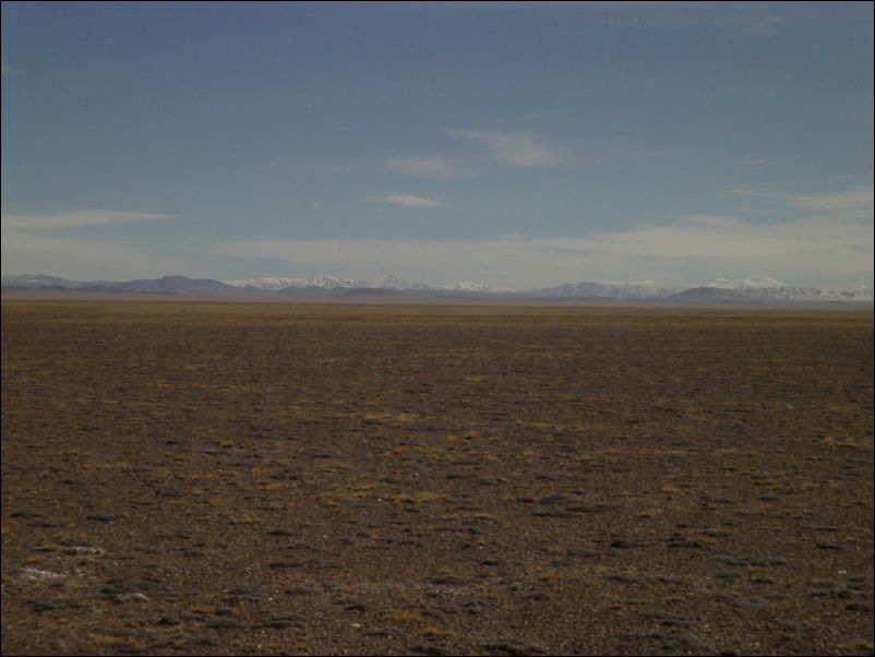
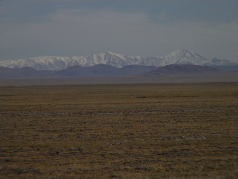
Peaks to the west. Chang Tang.
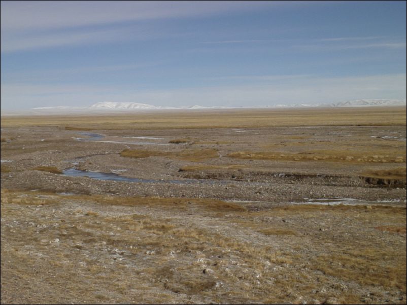
Small river crossing. Chang Tang.
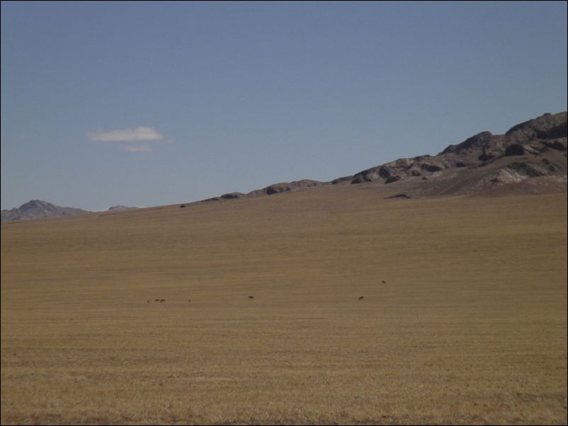
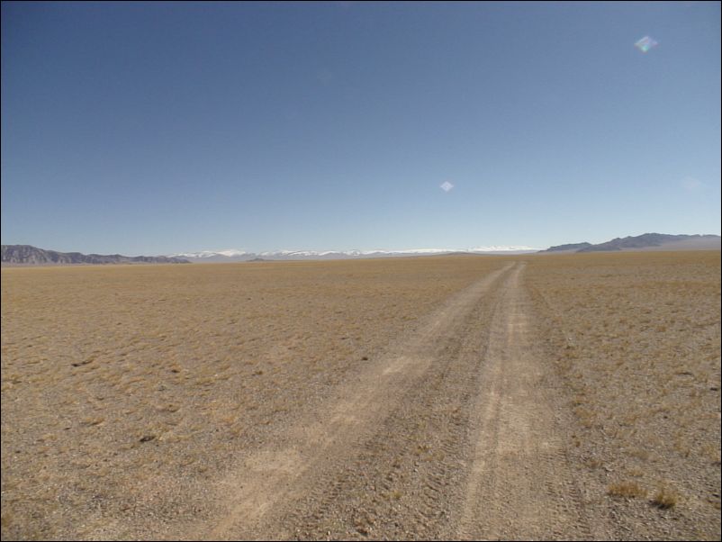
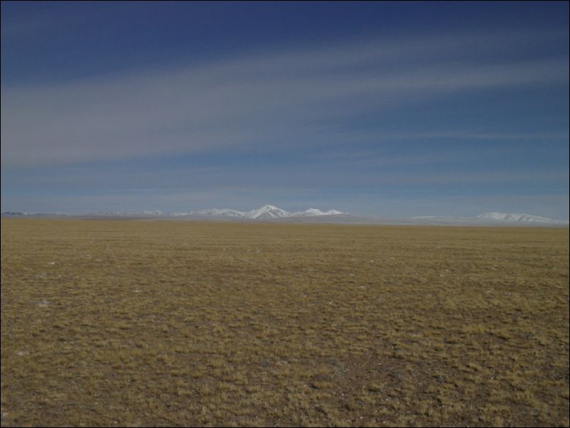
Crossing big open plain toward north/northwest
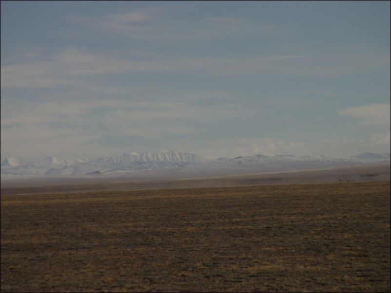
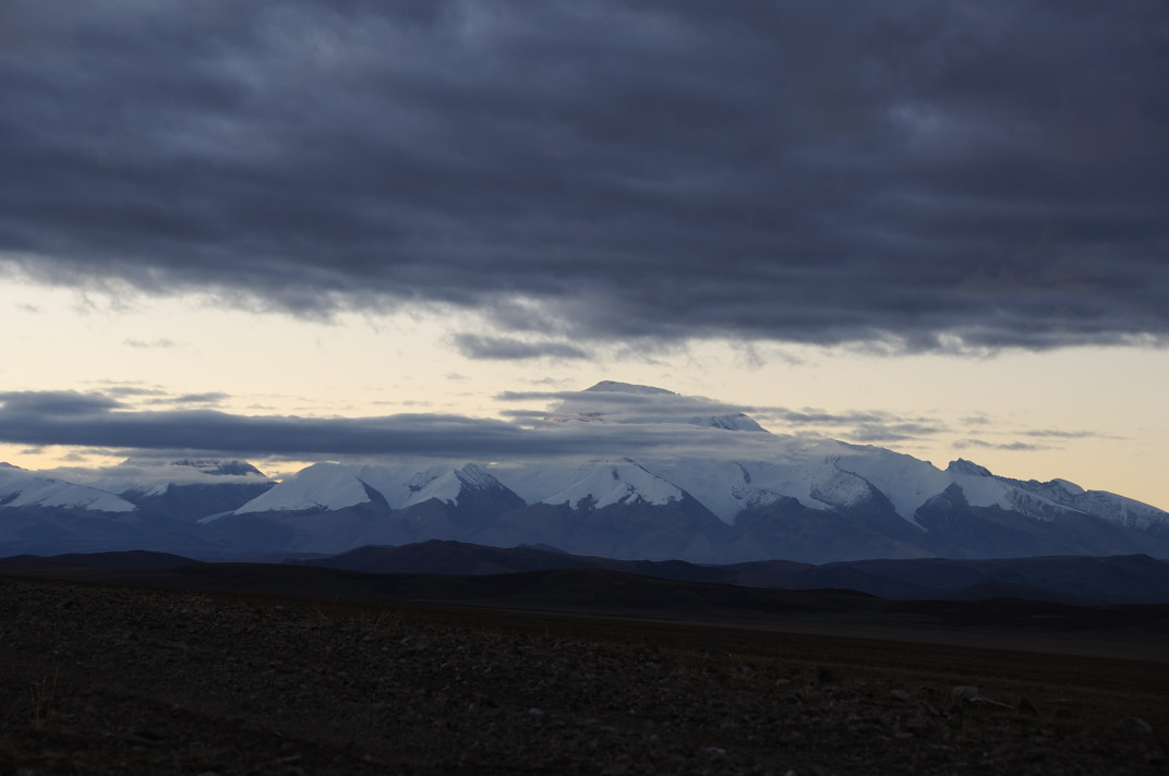
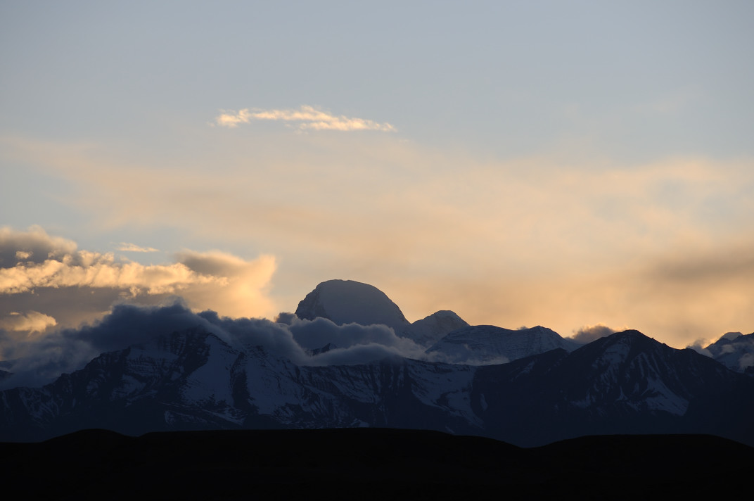
Peaks to the east, Kangser Kangri to the far right?
Peaks to the east, Kangser Kangri among them
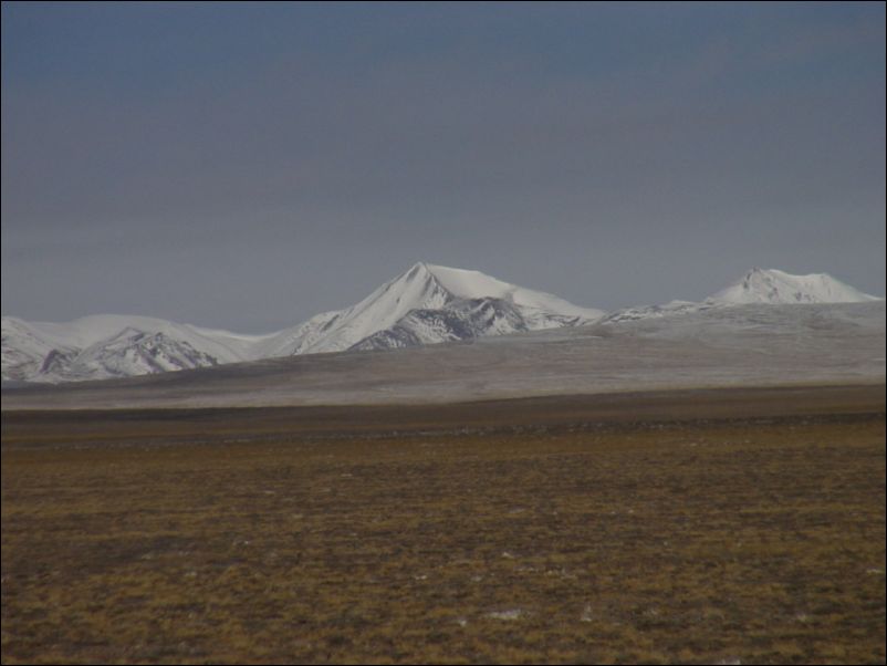
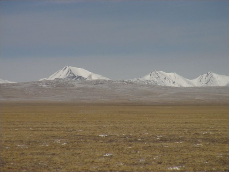
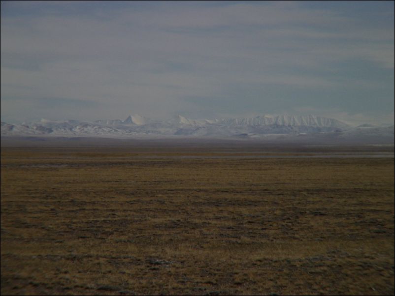
Peaks to the east. Chang Tang
Peaks to the west. Chang Tang.
Cave for a wolf? Chang Tang.
Peaks to the east. Chang Tang
Peaks west of burug lake?
Peaks to the west, incl. 6100 meters peak
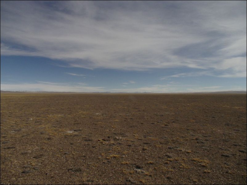
In the middle of a open plain.
Abandoned open industrial goldmine
Looking up the goldmine toward distang pass.
Things left behind by golddiggers
Things left behind by golddiggers
Looking down the river with the goldmine.
Left behind material from golddiggers
Old tent places for golddiggers
Trash left behind by golddiggers
Oil left behind by golddiggers
Trash left behind by golddiggers
Garbage left behind by golddiggers
[ 本帖最后由 好风长吟 于 2008-9-15 00:37 编辑 ]
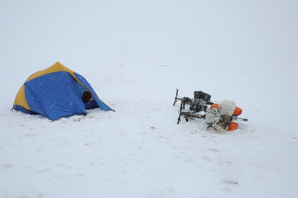
Snow storm comming in. Still 5 km. to top of pass…
Barbage and snow in open goldmine in Chang Tang
Tracks in the snow in goldmine in Chang Tang
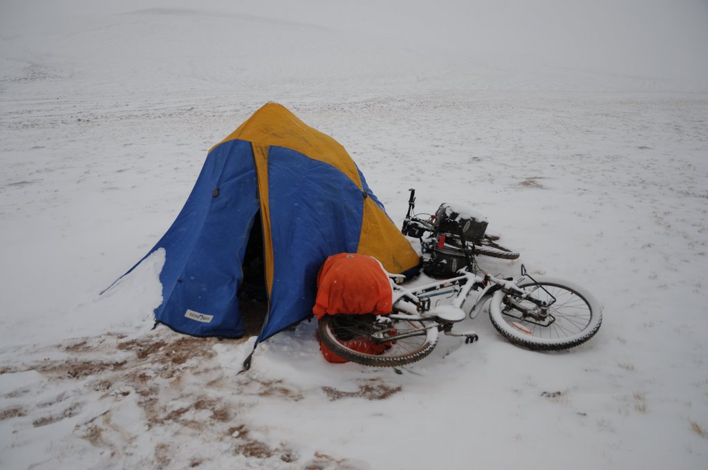
Camp the day after snow storm. Two km. to top of 5503 meters pass
Looking back on the way up to the top of pass
Had to use crampons to prevent sliding in the snow.
Animal tracks near pass top
Looking to the down north from 5503 meters pass.
Descending from pass, heading northeast.
Down from the pass on a open plain. Snow storm coming in.
Trying to walk from the snow storm….
About to be caught by the snowstorm
The next morning, about to leave then the gear has dried a bit.
Heading toward lake situated at 5070 meters.
Will more snow fall the next days…
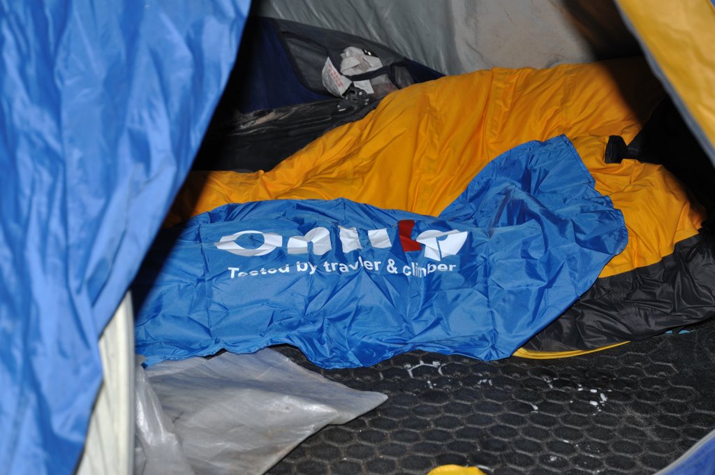
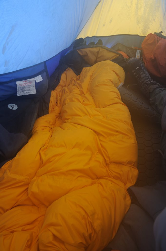
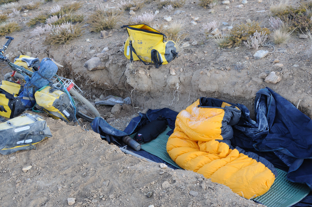
Drying gear – a wet sleeping bag is a disasterrr.
Typical vegatation in Chang Tang
Old campspot. Belongs to Sven Hedin?
Old campspot. About two meters in diameter
Heading north of the lake toward another pass. Ground soft here.
Dinner rest while drying gear.
Dinner while drying gear.
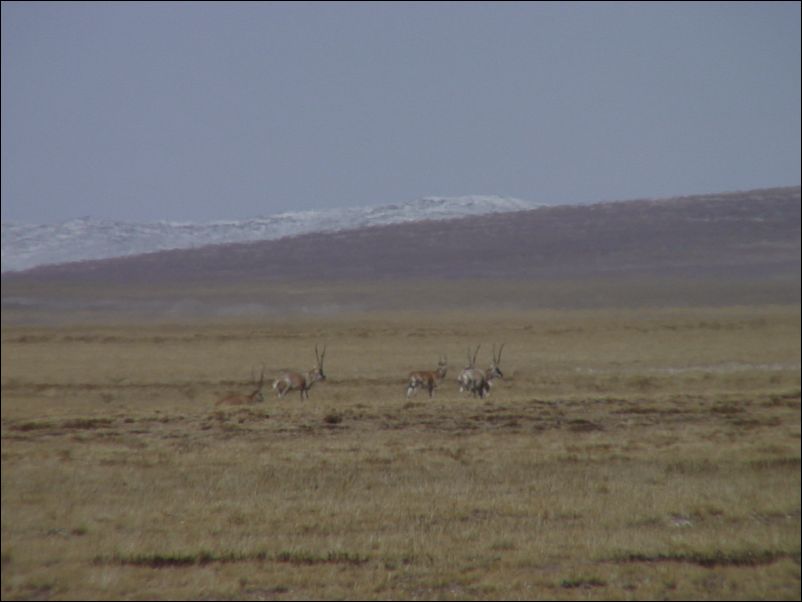
Female Chirus after climbing pass.
Heading north in riverbed. Dry and frossen. Possible to bike 10 kilometers here.
High altitude enviroment.
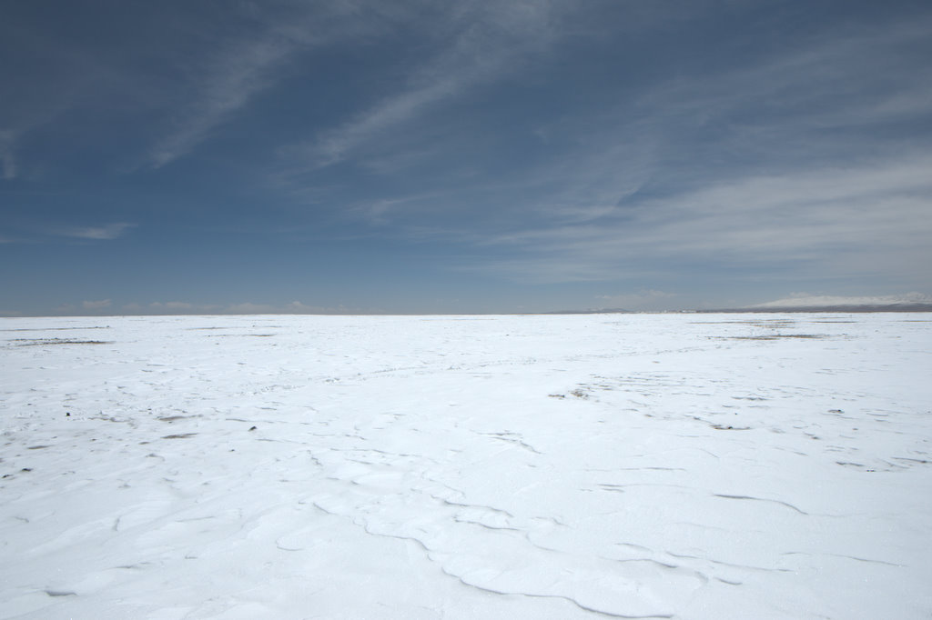
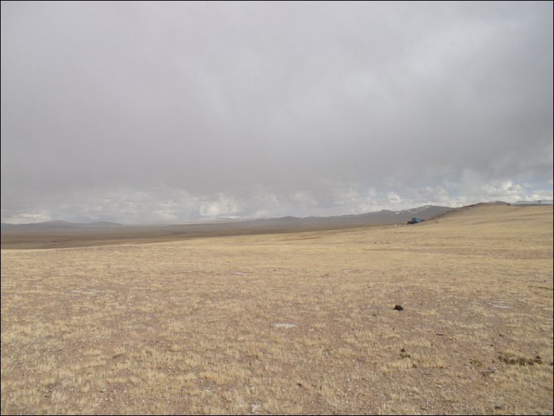
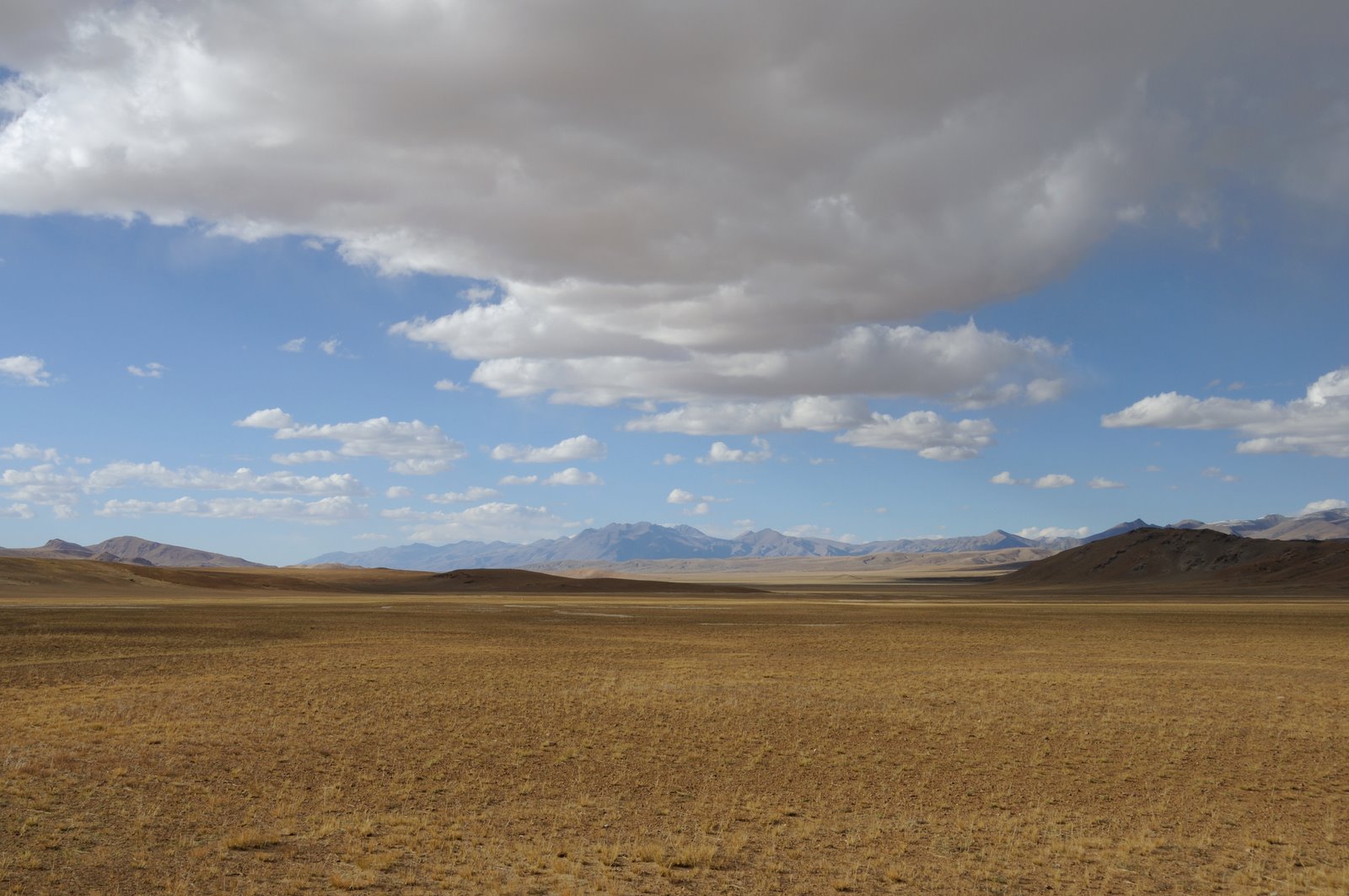
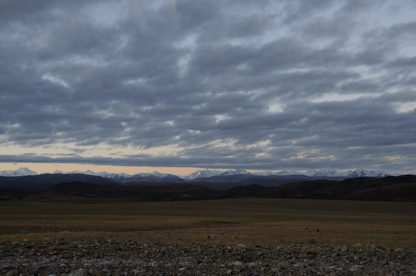
Typical Chang Tang in autumn.
Heading north toward flat pass. Did nearly 30 kilometers this day.
Looking southeast. Altitude above 5100 meters.
Later in the day – ground too soft for cycling.
Over small pass. Now passing small lake on my right.
Campspot just before very soft riverstream crossing.
Still not able to lift the bike due to all the food. Here heading north.
First look on major mountain massive in front. Looks like the Sydney opera house on distance
Bike tracks from 4 russian bikers going the opposite way one month before me without my knowledge
About to leave relatively flat terrain
Going over the first of two small but steep passes
Looks easy, but much more steep terrain in reality
Mountain complex on the border between Tibet and Xinjiang province
Finished two sharp small passes, now awaits a river crossing I have feared much during the planning process
Looking northwest along big rivervalley
Male Chirus – easy to approach
First part of the rivervalley dryed out at this time of the year
More tracks of the russians. I choose another route
Going east up through riverbed on a small detour
6300 meters peak in view to the north
Pushing the bike over small hills
Should I try to climb it or not?
This line of mountains marks the border into the Xinjiang provence
About to turn north cycling down a dry riverbed.
Strange formations in sandy area
Stipa grass in front of sandy formations
These sand formations gave me a strange feeling of not being alone
There were small snow dunes everywhere along my way, minimising my need for carring water
Pushing the bike for a while.
Small lake – much bigger than on my russian map. Reason: A lake futher east (according to my map) had been filled up with material , causing the water to enter this lake instead.
Going south around small lake
Still in doubt, should I go for it despite my bad boots
Following riverbed. The best and most stable terrain.
Snowy conditions in the mountains.
View from northwest to 6300 meters peak.
Choose not to attempt a climb. Worried about my boots and how to get out of Chang Tang in case of an injury.
Long haul northeast around the mountain complex
GPS, Russian 1:200.000 map and notebook for coordinates.
Heading straight ahead – crossing over deep deep river beds on the way.
Gazoline container thrown by poachers long time ago?
Gazoline container thrown by poachers long
Heading north – Pushing the bike, gasp for air, push the bike, etc…
The last hideout place for the Yeti? Looking back south on the mountain complex.
My boots are a disaster. The Gore-Tex don’t breath enough.
On my way over a small mountain range. Ups and downs all the time.
The lakes were all frosen during my crossing through Chang Tang.
Had to make a 5 km. detour because I found it too risky to cross over 500 meters of ice. The ice seems ok, but something happened it could have been it.
Frozen lake. Very noicy at night when temperatures plundged down to -28 C and the lakes froze even futher.
Used half of a day going over a pass snowy here
[ 本帖最后由 好风长吟 于 2008-9-15 17:38 编辑 ]
Still big problems with my boots.
Following riverbed up to another pass, the last big pass on the crossing.
Rocks in riverbed looing east.
Going down from the pass.
Strange circle shaped stone, flat on both sides. To heavy to take along.
Still following river, soon going below 5000 meters altitude
Following frozen river for a whilie.
To my amazement I suddenly run into tracks from heavy mashnes. Goldminers, I’m quite certain alsready at this point.
Reluctant I follow the trails – must lead down to Pulu, more than 150 km. away.